Subject: Geography Books
Period: 1791 (published)
Publication:
Color: Black & White
Size:
2.4 x 4 inches
6.1 x 10.2 cm
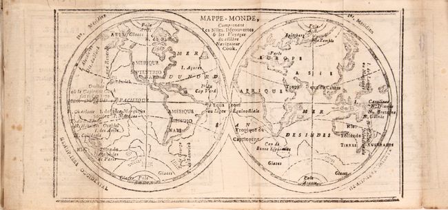
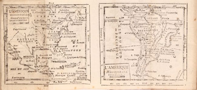
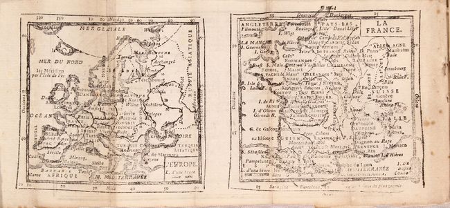
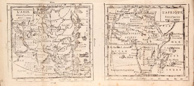
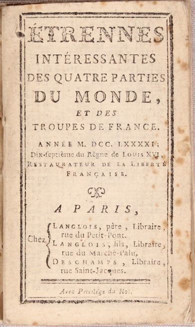
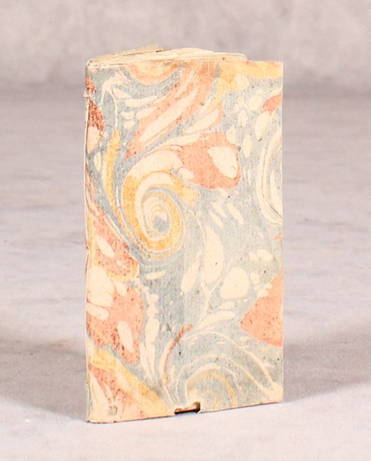
This uncommon and complete miniature geography includes a folding double-hemispheric map "Mappemonde ou Sont Tracees les Nouvelles Decouvertes" by Brion de la Tour, with maps of Europe and France on the verso, a very uncommon configuration for this period. Another folding map has maps of Asia and Africa on one side and maps of North America and South America on the other side. The map of North America, L'Amerique Septentrionale, shows the colonies confined to the eastern seaboard, with a large Louisiane to the west. A number of cities are named, including Sta Fe, which is located too far north. The west is labeled as Nouveau Mexique and Pays Inconnu. The book includes tables giving the positions of planets and celestial bodies throughout the year, the history of French monarchs and politicians, and a section on each country in Europe and for the continents. 48mo., 126 pp, seven maps on four sheets. Marbled paper covers. Published during the reign of King Louis XVII in Paris by Langlois and Deschamps.
References:
Condition: B+
Interior text and the last maps are generally clean and very good with a few minor spots of foxing. The first few pages including the world map have scattered foxing, and the map of Europe has a small hole at top left. Marbled paper covers with small worm track and a hole at bottom edge. No hardbound boards.