Catalog Archive
Auction 170, Lot 475

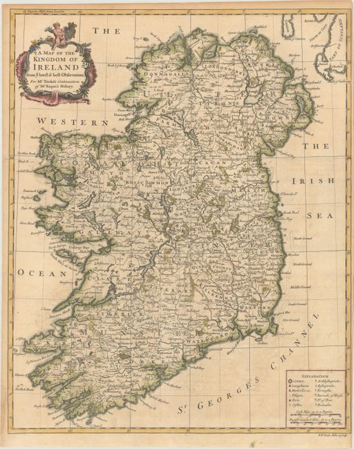
"A Map of the Kingdom of Ireland from ye Latest & Best Observations...", Seale, Richard William

Subject: Ireland

Period: 1732 (circa)

Publication: Mr. Tindal's Continuation of Mr. Rapin's History of England

Color: Hand Color

Size:
15.4 x 19.1 inches
39.1 x 48.5 cm
Download High Resolution Image
(or just click on image to launch the Zoom viewer)

A great amount of information is shown on this attractive map of Ireland. In addition to the normal location of cities, towns, market towns, and villages, this map includes designations for forts, castles, Archbishoprics, Bishoprics, horse barracks, infantry barracks and redoubts. The title cartouche includes the Irish coat of arms.

References: Shirley (BL Atlases) G.RAP-2a #3.

Condition: B+

Issued folding on watermarked paper with faint offsetting and a narrow right side margin.

Estimate: $300 - $375

Sold for: $150

Closed on 11/14/2018

Archived