Catalog Archive
Auction 170, Lot 113

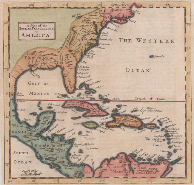
"A Map of the English Plantations in America", Moll, Herman

Subject: Colonial Eastern North America & West Indies

Period: 1695 (circa)

Publication: Thesaurus Geographicus...

Color: Hand Color

Size:
7.3 x 7 inches
18.5 x 17.8 cm
Download High Resolution Image
(or just click on image to launch the Zoom viewer)

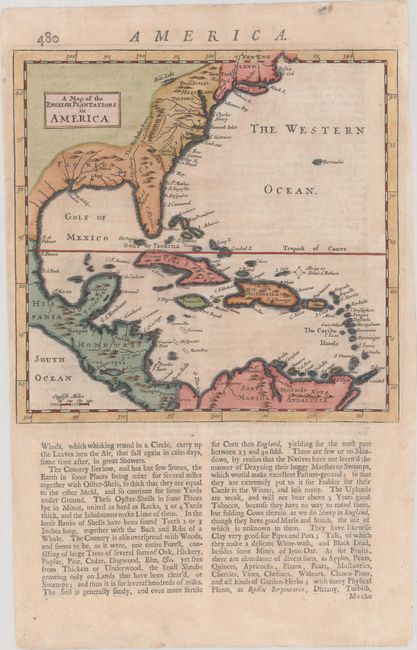
This handsome map is centered on Cuba and extends to the Caribbean, Central America, and north to New England. The topography is indicated simply and includes an unusual Felis Lake west of Pennsylvania. The early colonial settlements of Boston, Cape Cod, James Towne, and Charles Towne are noted. On a full sheet of English text measuring 7.6 x 12.2".

References: Shirley (BL Atlases) T.Moll-1a #58; cf. Phillips (Atlases) #536.

Condition: A

A nice impression with just a hint of toning.

Estimate: $250 - $325

Sold for: $250

Closed on 11/14/2018

Archived