Subject: North America, Indians
Period: 1840 (published)
Publication:
Color: Hand Color
Size:
16.5 x 14.8 inches
41.9 x 37.6 cm
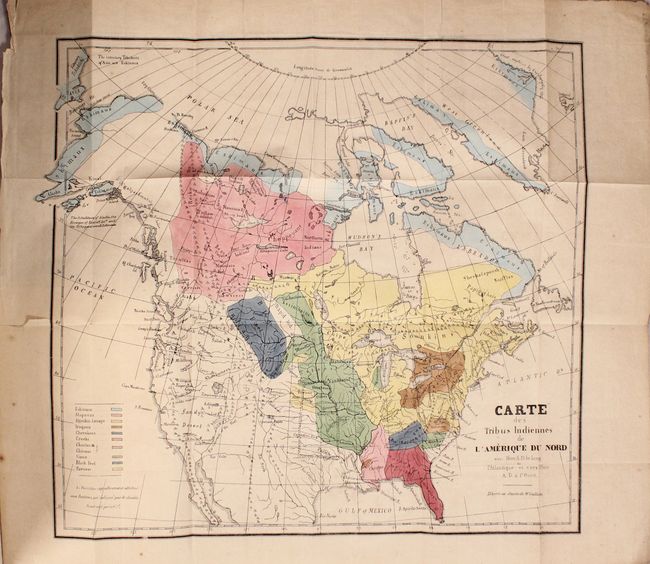
A French version of the famous Gallatin map that was originally published by the American Antiquarian Society in their Archaeologia Americana in 1836. It was noted by Wheat, Howes, and Cohen as the best map of the West of its time and the first ethnographic map of real merit. The edition appears to be similar or identical to the American version except for the addition of an area in the middle of the country with a double broken line which is referred to on the map thus: "Le Territoire definitivement attribue aux Indiens. Est indique par le double trail noir pointel" (the territory definitively attributed to the Indians). All other notes and place names are in English. Shows the California explorations by Jedidiah Strong Smith, many place names and notes. Calls the Great Basin the "Sandy Desert".
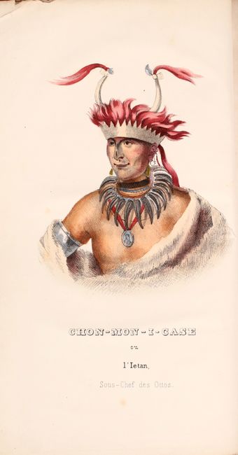
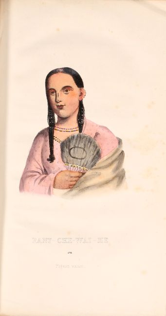
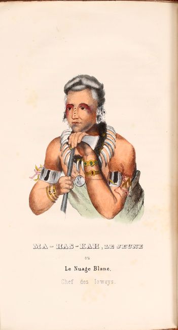
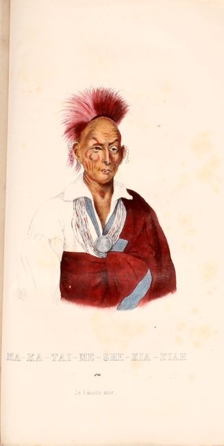
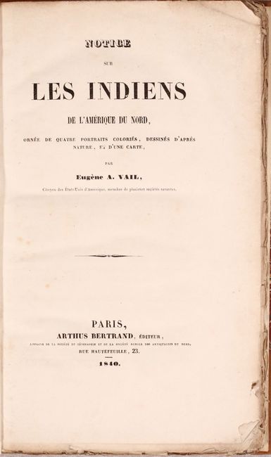
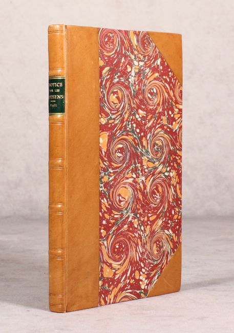
The map is still bound into the rear of Notice sur les Indiens de l'Amerique du Nord, published by Eugene Vail in Paris. It contains 4 hand-colored Indian portraits including: Chon-Mon-I-Case, Rant-Che-Wai-Me, Ma-Has-Kah, Le Jeune, and Ma-Ka-Tai-Me-She-Kia-Kiah. 246 pages. Rebound in faux quarter leather with tips over marbled boards.
Albert Gallatin was born in Geneva, Switzerland in 1761. After graduating from the University of Geneva he immigrated to Boston in 1780 and served in the Revolutionary Army. He later served as Secretary of the Treasury under Presidents Jefferson and Madison. Gallatin held numerous official positions including a commissioner to the Treaty of Ghent, as the United States Envoy Extraordinary and Minister Plenipotentiary to France, the Minister Plenipotentiary to Great Britain, and president of the National Bank of New York. He died in Astoria, N.Y. in 1849. A most important volume complete with map.
References: cf. Wheat (TMW) #417; cf. Howes #G-30; cf. Cohen pp. 114-116.
Condition: B+
The map has light toning, faint offsetting, and a few tiny splits at fold intersections. A short binding tear at left has been repaired on verso with archival material. Text and plates have scattered foxing and numerous tiny chips along the sheet edges. Modern binding is near fine.