Subject: References
Period: 1970-98 (published)
Publication:
Color: Printed Color
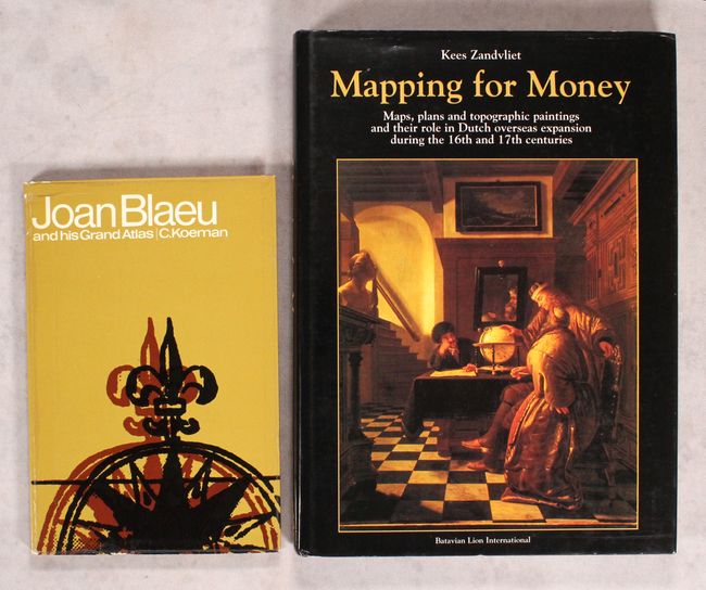
A. Joan Blaeu and His Grand Atlas, by Dr. Ir. C Koeman, published 1970 (6.1 x 9.1"). This is a must-have reference for any collector of Blaeu's fine maps, by one of the great scholars in cartography. It contains fascinating details on Blaeu's maps, his firm, and the 17th-century map trade. There are 28 illustrations (several in color), an appendix, notes, and an index. 128 pp. Soft illustrated covers. Condition: Text is very good. Covers have light shelf wear. (B+)
B. Mapping for Money - Maps, Plans and Topographic Paintings and Their Role in Dutch Overseas Expansion During the 16th and 17th Centuries, by Kees Zandvliet, published 1998 (9.0 x 12.5"). This in-depth study of the cartography of Dutch overseas expansion was written by Kees Zandvliet, a Dutch expert on cartographic history who spent a dozen years as the head of the Maps and Plans Department at the Dutch General State Archives. The book is divided into four main parts: "Towards Institutionalized Mapmaking," "The Dutch East India Company (VOC)," "The Dutch West India Company (WIC)," and "Art, History and Maps." Many illustrations appear throughout the text, several in color. It includes five appendixes, notes, and indexes. 328 pp. Hardbound in black cloth with gilt titles on spine and an illustrated dust jacket. Condition: Minor shelf wear. (A)
References:
Condition:
See description above.