Subject: Atlases
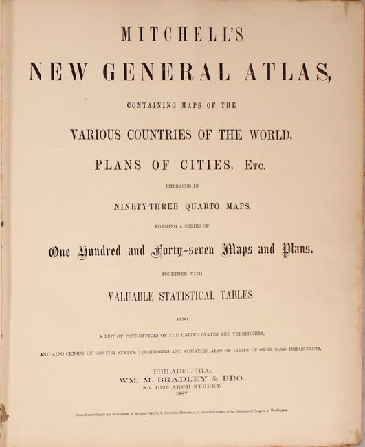
Period: 1887 (published)
Publication:
Color: Hand Color
Size:
12.9 x 15.6 inches
32.8 x 39.6 cm
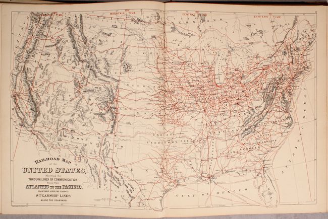
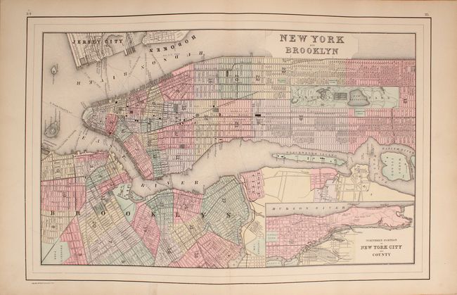
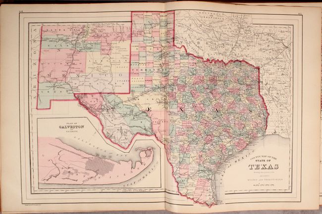
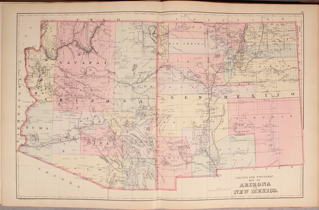
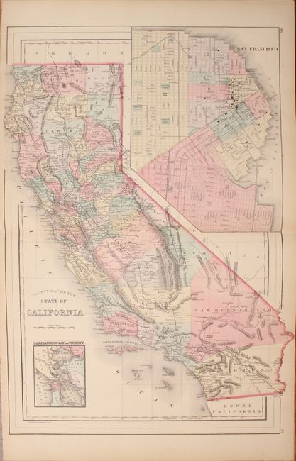
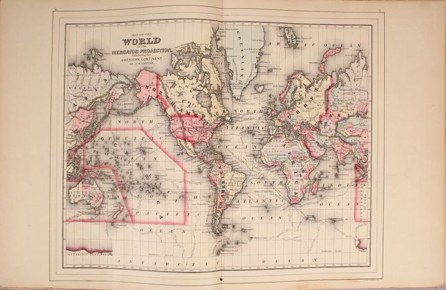
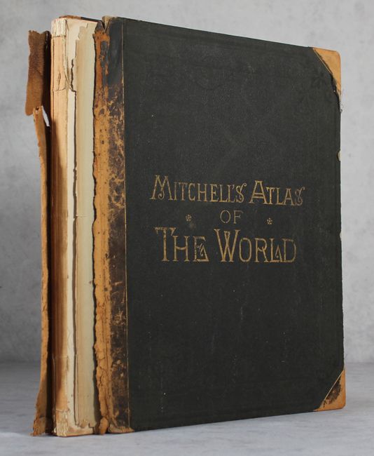
Complete with 147 maps and plans on 67 sheets, together with statistical tables, a list of post offices of the United States and Territories, and the census of 1880. It is one of the very last atlases to contain fully hand-colored maps, and features a number of maps and city plans not found in earlier editions, including separate maps for Colorado, Indian Territory, Dakota Territory, Detroit and the double-page "Railroad Map of the United States." Includes the very nice double-page "County and Township Map of Arizona and New Mexico and County" and "County Map of the State of California." Also contains a double-page map of Texas and double-page city plans of Boston, Philadelphia, and New York. Some, but not all, maps are printed on both sides. Original quarter calf with tips over cloth boards with gilt title on front cover. Published by William M. Bradley & Bro. who took over the publication in 1880.
References:
Condition: B+
Condition code is for the maps, which are very good to mostly near fine with pleasant light toning. The covers have completely separated and the text block is a bit loose as a result. Boards are moderately worn.