Catalog Archive
Auction 169, Lot 358

"Carte des Havres de Kingstown et de Port Royal", Bellin, Jacques Nicolas

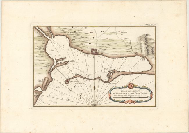
Subject: Kingston, Jamaica

Period: 1764 (circa)

Publication: Le Petit Atlas Maritime

Color: Hand Color

Size:
11.7 x 7.7 inches
29.7 x 19.6 cm
Download High Resolution Image
(or just click on image to launch the Zoom viewer)

This important map depicts Kingston's harbor. The town of Kingston and Port Royal are shown as block city plans. Also shown are the forts Passage and Rock, roads and habitations, numerous soundings, and more. It is embellished with a rococo-style cartouche, rhumb lines and a fleur-de-lys.

References: Sellers & Van Ee #1952.

Condition: A

A bright, watermarked sheet with minor scattered foxing and toning confined to the blank margins.

Estimate: $140 - $170

Sold for: $100

Closed on 9/12/2018

Archived