Subject: References
Period: 1995 (published)
Publication:
Color: Printed Color
Size:
8.8 x 12.1 inches
22.4 x 30.7 cm
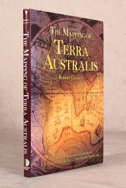
Robert Clancy's in-depth reference covers the mapping of Australia. In its first part, Clancy provides a general overview of old maps. The second part shifts focus to important maps of the region, starting with the early period of Australian cartography (1450-1600), when the land was still a mystery. This is followed by chapters on the exploration of Australia (1600-1800); the South Pacific in general (1500-1800); Antarctica (1500-1900); colonized Australia (1800-1900); and an epilogue on post-Federation maps (1901-1950). The book is illustrated with hundreds of color illustrations. Hardbound with illustrated covers and dust jacket. 192 pp.
References:
Condition: A
Near fine.