Catalog Archive
Auction 168, Lot 744

NO RESERVE

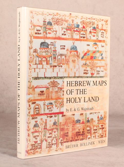
"Hebrew Maps of the Holy Land",

Subject: References

Period: 1992 (published)

Publication:

Color: Black & White

Size:
9.1 x 11.3 inches
23.1 x 28.7 cm
Download High Resolution Image
(or just click on image to launch the Zoom viewer)

This uncommon reference is the first comprehensive study of specifically Hebrew maps of the Holy Land. It includes 104 plates ranging from the 13th to the early 20th century, some of them in full color. Most of the maps are accompanied by a diagram that identifies specific locations and symbols. Hardbound in blue cloth with an illustrated dust jacket protected by Mylar. 277 pp.

References:

Condition: A

Like new, with just minor soiling on the dust jacket.

Estimate: $70 - $90

Sold for: $60

Closed on 6/6/2018

Archived