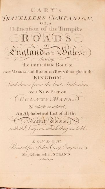
Subject: England & Wales
Period: 1791 (published)
Publication:
Color: Hand Color
Size:
4.3 x 6.6 inches
10.9 x 16.8 cm
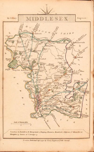
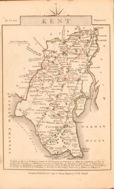
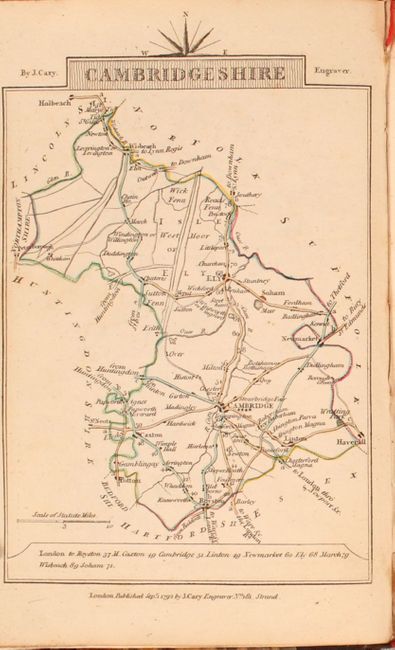
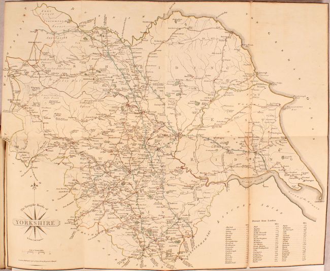
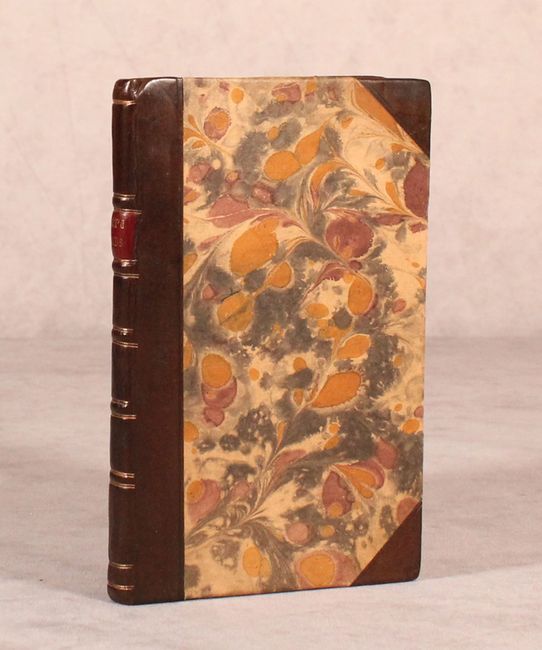
This traveler's guide of England and Wales shows the "Immediate Rout to Every Market and Borough Town Throughout the Kingdom." The guide consists of a single page index map of England & Wales, 40 single page county maps, and a folding map of Yorkshire (14.5 x 12"). Each of the maps shows fine detail of the turnpike roads, smaller roads, rivers, canals, and the county seats of the nobility. Distances between major towns/cities are noted at bottom. Includes a six page index showing which days of the week markets are held for various towns/boroughs. Rebound in quarter faux leather with tips over marbled boards.
References:
Condition: B+
The maps are mostly very good to near fine with occasional scattered foxing and minor soiling. The one exception is the folding map of Yorkshire that has a 3" fold separation and an 11" horizontal edge tear that have both been closed on verso with archival tape (B). New binding and endpapers are near fine.