Subject: Washington, D.C.
Period: 1800 (published)
Publication:
Color: Black & White
Size:
8.4 x 6.6 inches
21.3 x 16.8 cm
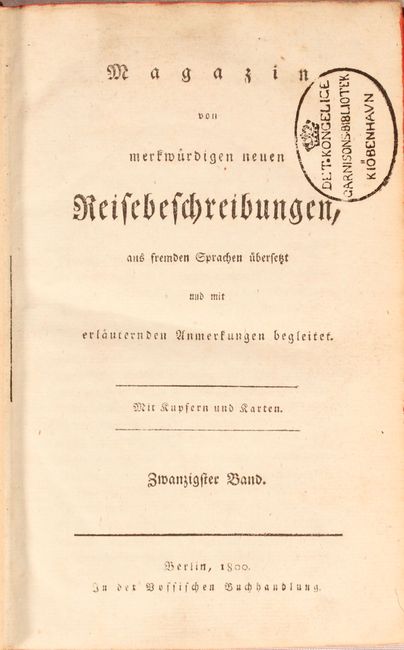
Weld, an Irish-born topographer, arrived to Philadelphia in 1795, and his subsequent travels took him through the mid-Atlantic states where he met George Washington and Thomas Jefferson. He then continued to Montreal and Quebec and, following the St. Lawrence River, journeyed to the lakes of Kingston, Niagara and Detroit. His description of the country and its settlements are often unflattering, but provide a fascinating early view of the emerging nation. He published his experiences in Travels Through the States of North America, and the Provinces of Upper and Lower Canada, During the Years 1795, 1796, and 1797, which first appeared in 1798. This is a rare German edition of Weld's work that was published as part of Magazin von Merkwuerdigen Neuen Reisebeschribungen in Berlin by Vossischen Buchhandlung. This volume includes two folding maps/plans:
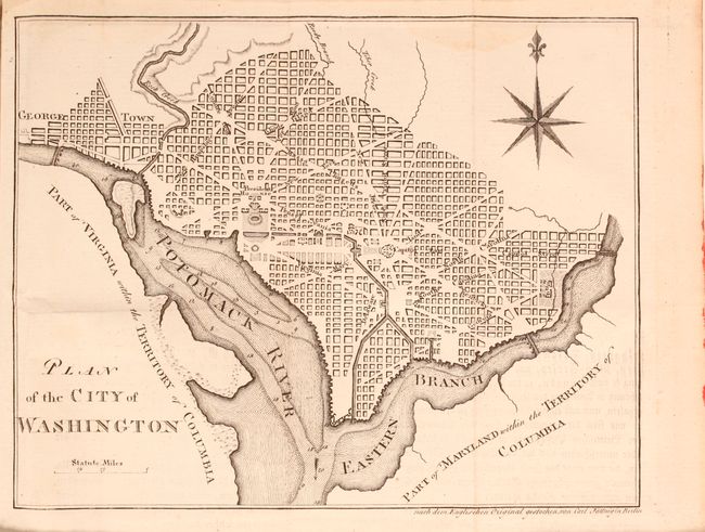
A. Plan of the City of Washington. This is a reduced and simplified version of Ellicott's plan of 1792. Washington is bordered by the Potomack (Potomac) River and the Eastern Branch, now the Anacostia River. Georgetown, at the left and northwest of Rock Creek, is separately labeled. Reedy Branch and Tiber Creek are shown to the north outside of the street pattern. A few major buildings including the Capitol and Presidents House are labeled; others are merely outlined. The proposed landscape design for the Mall is shown with some detail. Near the upper right is an eight-pointed compass indicator surmounted by a fleur de lis. Engraved by Carl Jattnig. This map does not appear in Phillips' Maps and Views of Washington and District of Columbia.
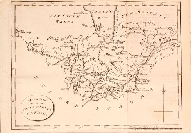
B. A New Map of Upper & Lower Canada. This small map is centered on the Great Lakes and extends from Lake Winnipeg in the west to the mouth of the St. Lawrence and Anticosti Island in the east. There is nice detail of watersheds, shoreline and the southern portion of James Bay. The map locates a number of important forts including Ft. Chambly and Ft. George.
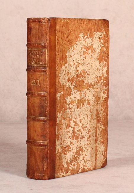
8vo, iv, 536 pp., 2 maps. Hardbound in quarter tan leather and tips over marbled paper covered boards with 5 raised bands and gilt titling on spine.
References: Mickwitz & Miekkavaara #716-4; Howes #W-235, cf. Phillips (DC) PW #37.
Condition: B+
Both maps have light soiling, some offsetting from an opposing page of text, and faint damp stains at top. The text is clean and bright with some very minor scattered foxing. Old library stamps on title page and back pastedown from Det Kongelige Garnisonsbibliotek in Kobenhavn, Denmark. The covers are heavily abraded but the spine is in very good condition with minor wear.