Subject: Alaska
Period: 1904 (published)
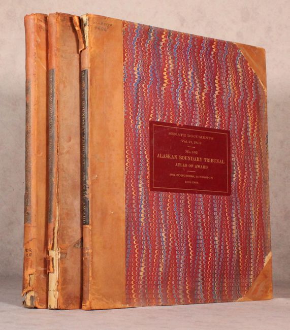
Publication: Sen. Doc. 162, 58th Congress, 2nd Session
Color: Printed Color
Size:
15.5 x 19 inches
39.4 x 48.3 cm
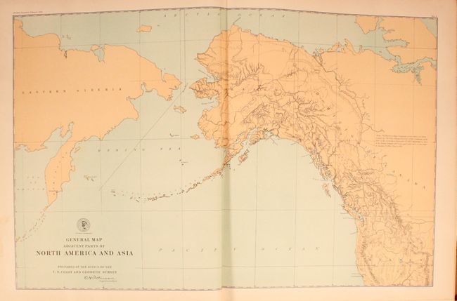
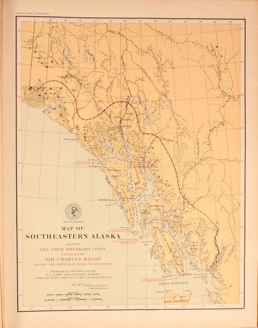
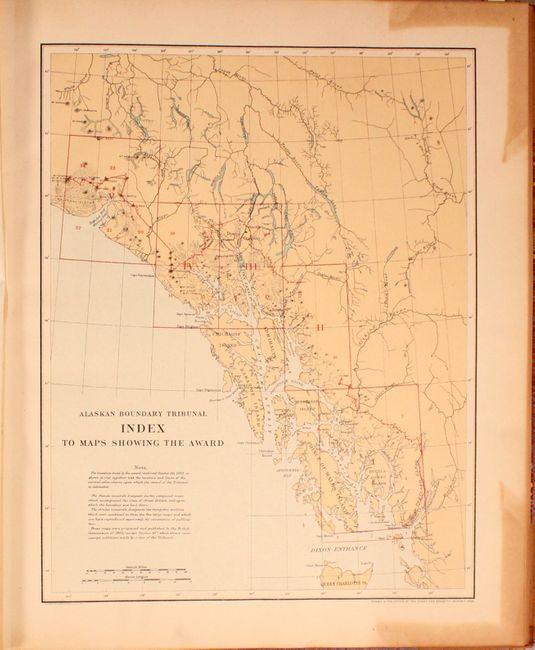
This complete set related to the Alaskan boundary dispute presents the United States' case (volume 1), the British case (volume 2), and the final resolution (volume 3) as provided under the Hay/Herbert Treaty. The boundary dispute began in the early 20th century between the British and Russians, and was inherited by the Americans with the purchase of Alaska in 1867. After 40 years of disagreement, the parties established a six person tribunal council with equal representation from the United States, Canada and Britain to define the boundary. In 1903, the council adopted the American interpretation of the boundary, denying Canada direct access from the gold fields to the Pacific Ocean. Although seemingly insignificant today, it was a hotly debated issue in its time.
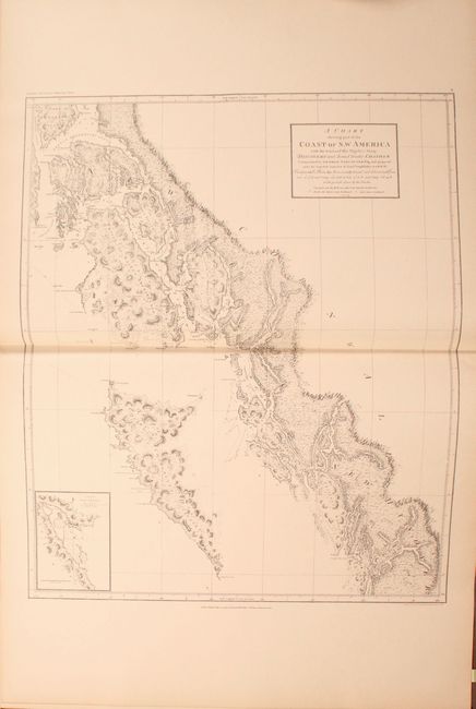
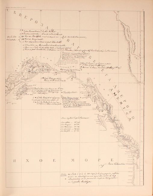
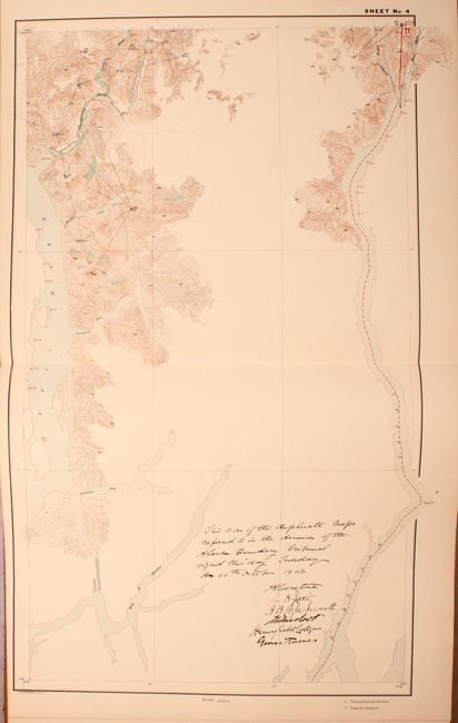
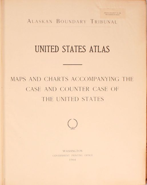
Volume I (the United States case) contains 47 total maps, including a combination of modern and historical maps, of Alaska and the coastline of British Columbia. Included are include reproductions of historical maps by such well-known cartographers as Arrowsmith, Johnston, Black, and new maps prepared by the U.S. Coast and Geodetic Survey. Most of the maps are partial examples from British sources, and were used to show specific areas of the Pacific Northwest in an attempt to strengthen the claim of the United States. Volume II includes 37 mostly historical maps beginning with four charts from 1798 by Vancouver and ending with the 1895 S.E. Alaska British Commission Map. Volume III consists of twenty-five modern sectional charts "showing the line fixed by the tribunal."
Elephant folio. Hardbound in quarter calf and tips over marbled paper boards.
References: Phillips (Atlases) #1452.
Condition: B+
The maps are very good to near fine with occasional light toning mostly along the sheet edges. Both the front and rear hinges are starting on volume I and II. All the bindings are moderately worn with chips to the spine, abrasions and one chip to the covers, and bumped edges.