Subject: United States, Railroads
Period: 1882-84 (dated)
Publication:
Color: Printed Color
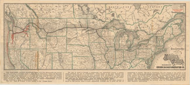
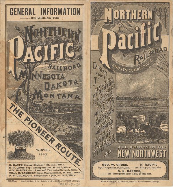
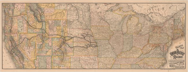
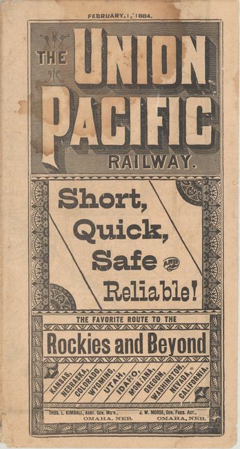
A nice pair of Rand McNally maps of the northern United States that prominently depict the lines of the Northern Pacific and Union Pacific Railroads. The map of the Northern Pacific Railroad extends from Duluth to Tacoma, with the Oregon Railway highlighted in red. The Union Pacific Railroad map shows a network of rail lines from Omaha and St. Joseph to points west including Sacramento, San Francisco, and Los Angeles. The versos contain timetables and advertisements. Self folding.
A. New and Correct Map of the Lines of the Northern Pacific Railroad and Oregon Railway & Navigation Co., dated 1882 (34.5 x 12.7").
B. Official Map of the Union Pacific Railway. Through Kansas & Nebraska and from Colorado, Wyoming, Montana, Utah, Nevada, Idaho, Washington, Oregon & California, dated 1884 (43.5 x 15.8").
References:
Condition: B+
Issued folding with some occasional light dampstaining. The first map also has a few tiny wormholes and minor fold separations that have been closed on verso with archival tape.