Catalog Archive
Auction 168, Lot 124

"Amerique Russe, et Partie des Regions Polaires Boreales", Garnier, Francis Marie Joseph

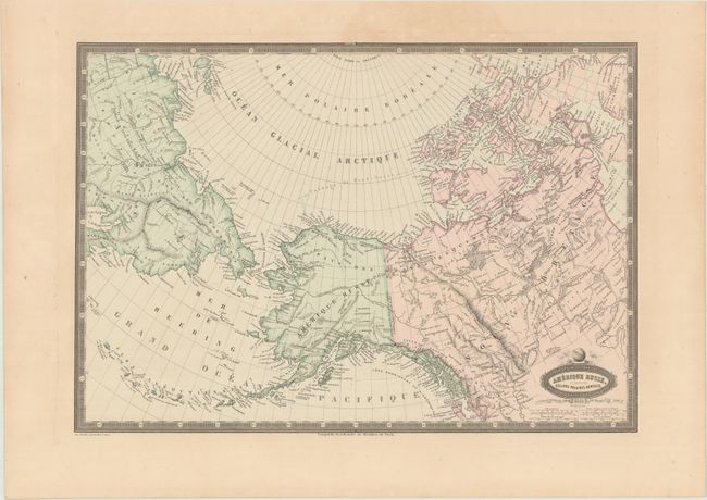
Subject: Northern United States & Canada, Alaska, Asia

Period: 1860 (dated)

Publication: Atlas Spheroidal & Universel de Geographie

Color: Hand Color

Size:
18.8 x 13 inches
47.8 x 33 cm
Download High Resolution Image
(or just click on image to launch the Zoom viewer)

This striking map stretches from Siberia across the Bering Strait to Alaska (Amerique Russe) and Canada. It is teeming with fine detail, identifying forts, rivers, lakes, mountains, volcanoes, islands, and more. The Passage du Nord-Ouest is delineated, and the border between English and Russian possessions is explicitly noted. Six distance scales appear beneath the title cartouche. The map is surrounded by a keyboard-style border. Printed in Paris by Sarazin.

Garnier's Atlas Spheroidal & Universel de Geographie is quite rare and sought-after for its elegant hand coloring, precise engraving, and decorative maps.

References:

Condition: A

Original color with a tiny hole on the top neatline and marginal toning.

Estimate: $140 - $170

Sold for: $90

Closed on 6/6/2018

Archived