Catalog Archive
Auction 167, Lot 63

"Carte de la Baye de Hudson", Bellin, Jacques Nicolas

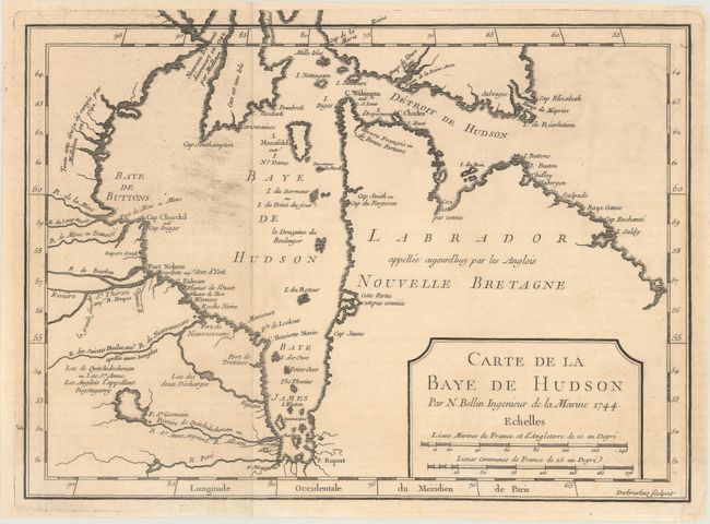
Subject: Eastern Canada, Hudson Bay

Period: 1744 (dated)

Publication: Histoire et Description Generale de la Nouvelle France

Color: Black & White

Size:
11.5 x 8.4 inches
29.2 x 21.3 cm
Download High Resolution Image
(or just click on image to launch the Zoom viewer)

This chart of Hudson Bay and Labrador depicts the coastal features and includes the forts of Rupert, Monsoni, St. Germain, and Bourbon. Inland, detail is limited to rivers and a few places names. Two notations identify the discoveries of Middleton in 1742. A simple title cartouche incorporates two distance scales. Engraver's imprint, Desbruslins Sculpsit, at lower right. An uncommon issue that pre-dates numerous Hudson Bay maps issued later by Bellin.

References: Kershaw #423.

Condition: B+

Issued folding on watermarked paper with an area of light soiling and minor toning.

Estimate: $140 - $170

Unsold

Closed on 3/28/2018

Archived