Subject: Atlases
Period: 1790 (circa)
Publication:
Color: Hand Color
Size:
16.2 x 22.4 inches
41.1 x 56.9 cm
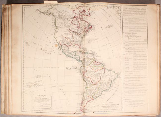
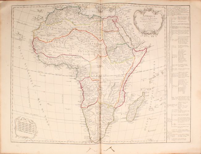
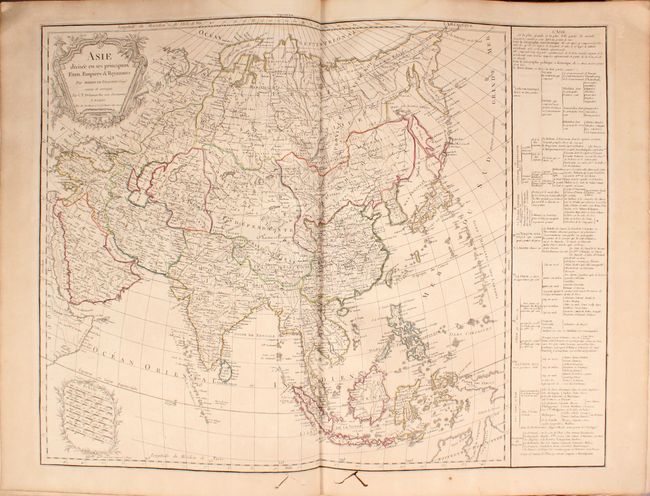
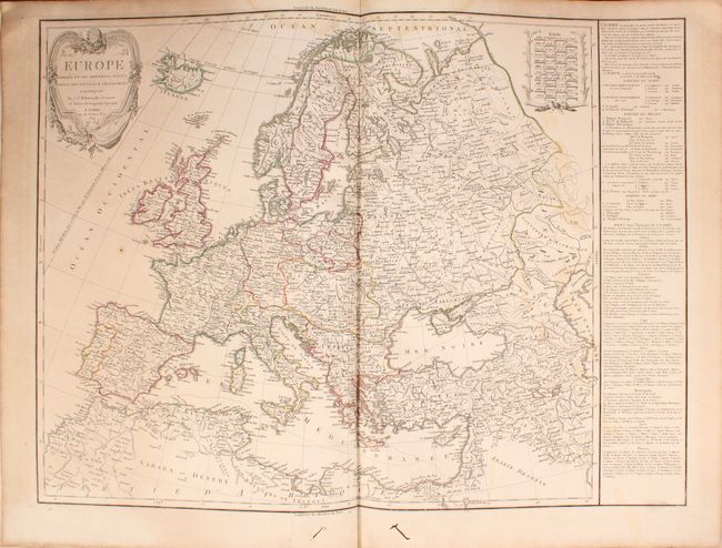
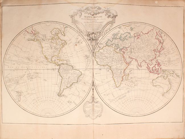
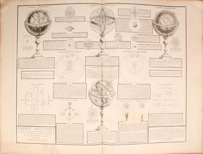
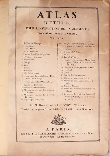
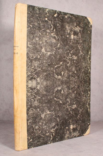
This nearly complete composite atlas contains 35 of 36 maps including maps of the world, Americas, Asia, Africa, Europe, and regional maps of Europe (missing only the map of Poland). Of particular interest is Amerique ou Indes Occidentales with a panel of descriptive text along the right side of the sheet. The United States is shown confined to east of the Mississippi River and the Pacific Northwest is blank except for a few coastal place names. In South America, the large fictitious lakes of Parime and Xarayes are still prominently depicted (a theory that was not disproved until Humboldt's journey through this region from 1799-1804). The world map shows Tasmania separated from Australia, and the tracks of numerous explorers are seen filling the oceans including Tasman, Cook and Vancouver. Elephant folio, hardbound in quarter vellum with tips over marbled boards.
References:
Condition: B
The maps are good to very good with light toning and a damp stain that just enters most of the map images at top. A few maps have worm tracks in the image at bottom including the map of North America. The title page is toned and stained at top. Covers have average wear with bumped edges.