Catalog Archive
Auction 166, Lot 721

"Carte des Iles Salomon", Vincendon-Dumoulin, Clement Adrian

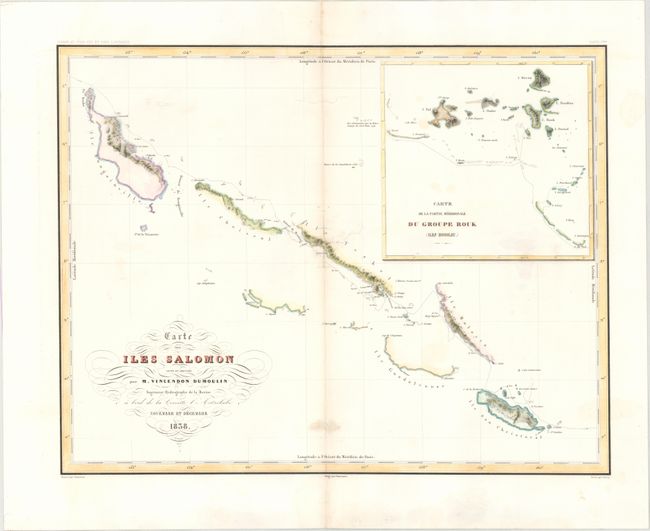
Subject: Salomon Islands

Period: 1838 (dated)

Publication: Voyage au Pole Sud dans l'Ocean sur les Corvets...

Color: Hand Color

Size:
21.3 x 16.5 inches
54.1 x 41.9 cm
Download High Resolution Image
(or just click on image to launch the Zoom viewer)

Detailed chart showing the track of the Astrolabe through the Solomon Islands with an inset "Carte de la Partie Meridionale du Groupe Rouk (Iles Hogoleu)." Vincendon-Dumoulin was the cartographer for Dumont d'Urville's important expedition to the Pacific and the Antarctic, which resulted in significant contributions to the mapping of the region.

References:

Condition: B

There are a few faint stains, minor toning along the centerfold, and several horizontal tears along the centerfold that have been archivally repaired.

Estimate: $160 - $190

Unsold

Closed on 2/14/2018

Archived