Catalog Archive
Auction 166, Lot 695

"Tabula Aphricae II", Ruscelli, Girolamo

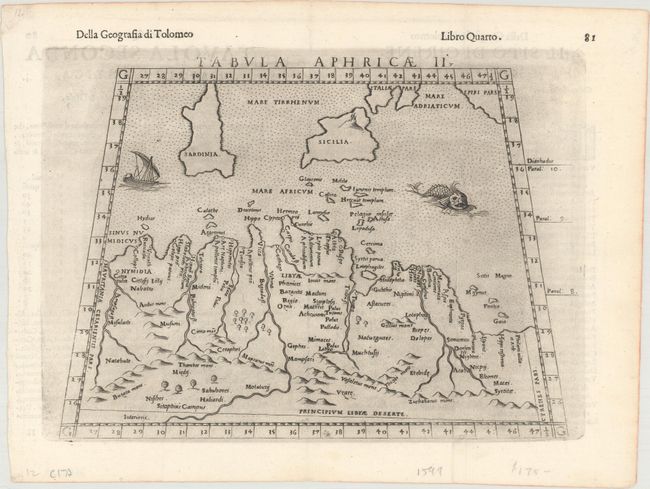
Subject: Northern Africa

Period: 1598 (published)

Publication: Geografia di Claudio Tolomeo Alessandrino...

Color: Black & White

Size:
9.7 x 7.1 inches
24.6 x 18 cm
Download High Resolution Image
(or just click on image to launch the Zoom viewer)

This Ptolemaic map of northern Africa covers portions of Algeria, Tunisia, and Libya and extends to include the islands of Sicily and Sardinia. The map identifies rivers and mountain ranges in the vicinity, and is decorated by a sea monster, sailing ship, and a stippled sea. Italian text on verso. From the fourth edition of Girolamo Ruscelli's translation of Claudius Ptolemy's Geographia, enlarged and edited by Gioseppe Rosaccio and printed by the heirs of Melchior Sessa.

References: Mickwitz & Miekkavaara #227-12.

Condition: A

A dark impression on a clean, bright sheet with an extraneous vertical crease at right.

Estimate: $120 - $150

Sold for: $95

Closed on 2/14/2018

Archived