Catalog Archive
Auction 166, Lot 654

"Grande Tartarie", Fer, Nicolas de
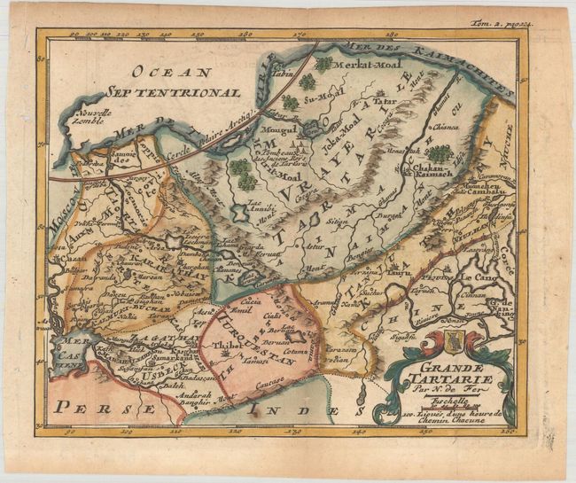
Subject: Northern Asia

Period: 1704 (published)

Publication: Methode pour Apprendre Facilement la Geographie

Color: Hand Color

Size:
6.4 x 5.3 inches
16.3 x 13.5 cm
Download High Resolution Image
(or just click on image to launch the Zoom viewer)

Finely engraved little map of the northern part of Asia decorated with a title cartouche incorporating a tiny armorial shield. The Caspian Sea is located in the lower left of the map, while just south of the Arctic Circle the tombs of the ancient kings of Tartary are noted. The map is engraved to show the mountains and forests and includes the Great Wall of China. Published in M. Robbe's Methode pour Apprendre Facilement la Geographie.

References:

Condition: B+

Issued folding on watermarked paper with light toning and minor offsetting.

Estimate: $110 - $140

Sold for: $55

Closed on 2/14/2018

Archived