Subject: Panama Canal
Period: 1839 (published)
Publication:
Color: Black & White
Size:
5.8 x 9.2 inches
14.7 x 23.4 cm
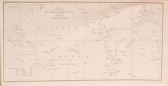
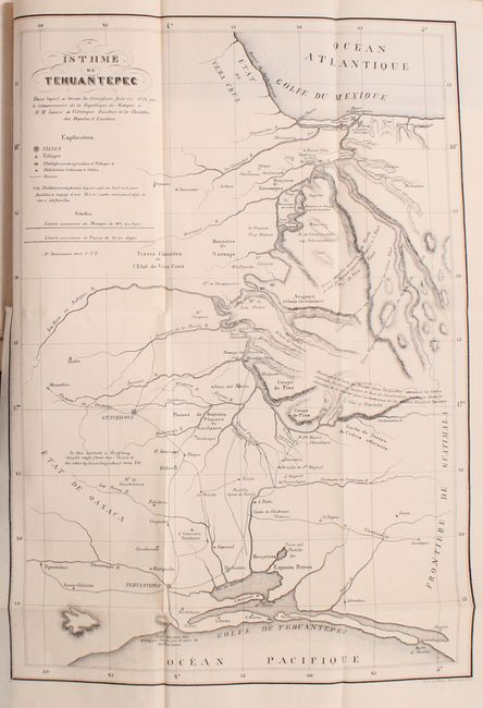
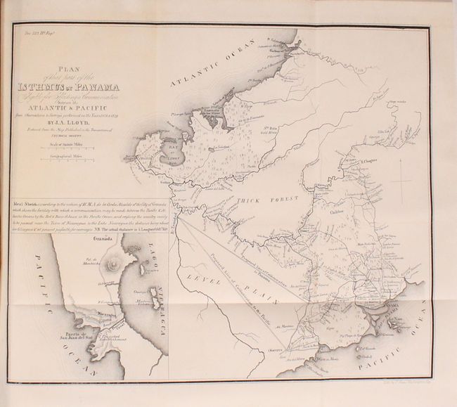
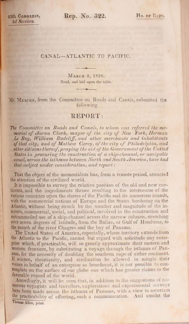
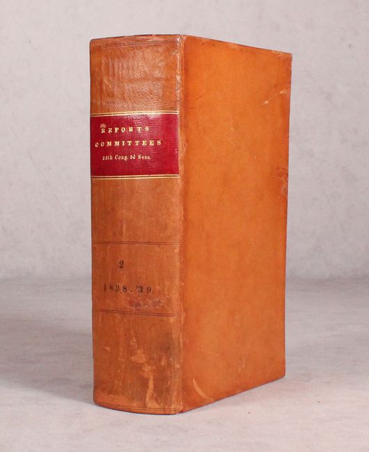
Included in this thick, octavo House volume is the 167 page report from the House Committee on Roads and Canals. The report details several possible scenarios for opening a "communication" (railroad or canal) between the Atlantic and Pacific Oceans, with a recommendation that the House of Representatives approve a resolution for the President to enter negotiations with the government of Panama to create a canal. The report includes a profile view from Lake Nicaragua to the Pacific Ocean and the following five maps:
Map Showing the Route from New-York to the Isthmus of Panama (14.2 x 7.1").
Isthme de Tehuantepec (15.6 x 10.8").
Map of the Western Coast of America with the Intended Track of the Steamers (6.9 x 12.9").
Mapa Corografica de un Camino Carretero en el Istmo de Panama… (9.3 x 7.2").
Plan of That Part of the Isthmus of Panama Eligible for Effecting a Communication between the Atlantic & Pacific…, by J.A. Lloyd (10.2 x 8.5").
The volume contains 49 other House reports without illustrations. Hardbound in full leather with gilt title label on spine.
References: Claussen & Friis #310-315.
Condition: A
Condition code is for the folding maps, which are clean, bright and near fine. Text is also clean except for an occasional spot of foxing and a few toned pages. The binding is very good with some minor wear and scuffs.