Subject: Wyoming
Period: 1883 (published)
Publication:
Color: Black & White
Size:
13.2 x 10.3 inches
33.5 x 26.2 cm
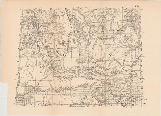
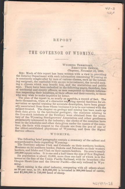
This 67 page report was issued by the territorial governor, William Hale, and incorporated into the annual report of the Department of the Interior. Included in this report is a small, untitled map of the territory that is characteristic of military expedition maps of the period. It shows the state of surveying confined to the southern portion of the territory along the line of the Union Pacific Railroad, and Yellowstone National Park is identified in the northwestern part of the territory. The map includes good detail of forts, rivers, mountain ranges, railroads, roads, and mining districts.
References: Blevins #427.
Condition: B+
Issued folding with pleasant light toning and a short fold separation at bottom that has been closed on verso with archival tape. Disbound text is very good with a small edge tear to the title page that has been repaired with archival tape.