Catalog Archive
Auction 166, Lot 276

"Rhode Island", Payne, John

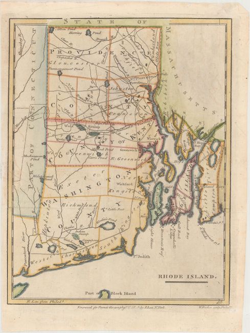
Subject: Rhode Island

Period: 1798 (published)

Publication: A New and Complete System of Universal Geography

Color: Hand Color

Size:
7.4 x 9.5 inches
18.8 x 24.1 cm
Download High Resolution Image
(or just click on image to launch the Zoom viewer)

This small but striking map of Rhode Island is from Payne's Geography, published by John Low. Counties, roads, ponds, rivers, swamps, and towns and cities are shown. Unengraved portions of Massachusetts and Connecticut appear as well. Engraved by William Barker.

References: McCorkle (18th C. Geography Books) #330, Vol. IV [7]; Wheat & Brun #255.

Condition: B+

Issued folding, now flattened, with minor toning and offsetting and an abrasion in the publisher's imprint below the map.

Estimate: $140 - $170

Sold for: $100

Closed on 2/14/2018

Archived