Catalog Archive
Auction 166, Lot 119

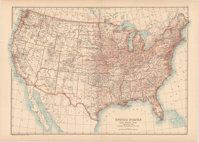
"United States Rail Road Map Showing the Principal Topographical Features", Black, Adam & Charles
Subject: United States

Period: 1896 (published)

Publication: Black's General Atlas

Color: Printed Color

Size:
23.1 x 16.1 inches
58.7 x 40.9 cm
Download High Resolution Image
(or just click on image to launch the Zoom viewer)

This map of the United States shows the extensive railroad network in the east and its steady expansion in the west. While the emphasis of the map is on the railroad and river networks in the US, key cities are also identified. Copyrighted 1889 by Charles Scribner's Sons.

References:

Condition: A

Light toning along the edges of the sheet with a professionally repaired centerfold separation.

Estimate: $80 - $95

Sold for: $60

Closed on 2/14/2018

Archived