Catalog Archive
Auction 166, Lot 10
"[Lot of 7] The World [and] North America [and] South America [and] Africa [and] Asia [and] Europe [and] Turky in Europe", Gibson, John
Subject: World & Continents
Period: 1758 (circa)
Publication: Atlas Minimus
Color: Hand Color
Size:
See Description
Download High Resolution Image
(or just click on image to launch the Zoom viewer)
(or just click on image to launch the Zoom viewer)
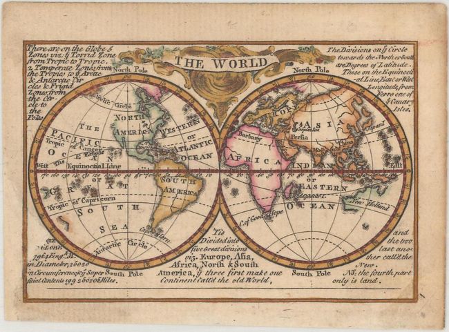
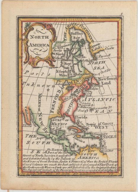
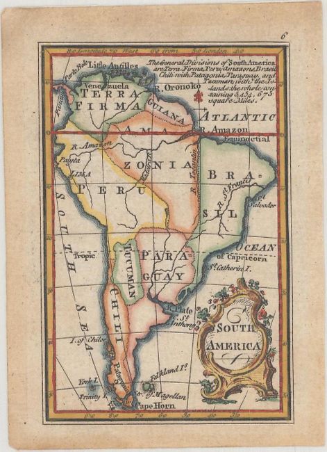
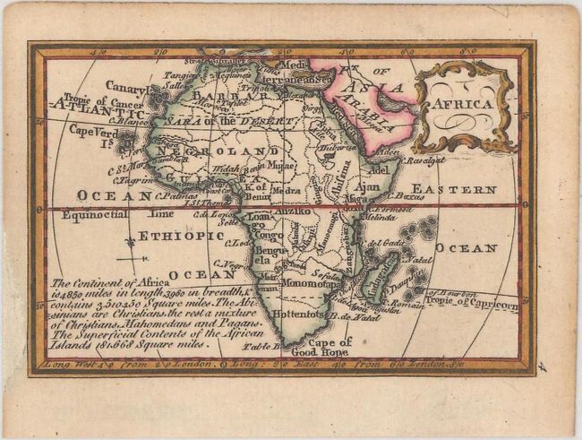
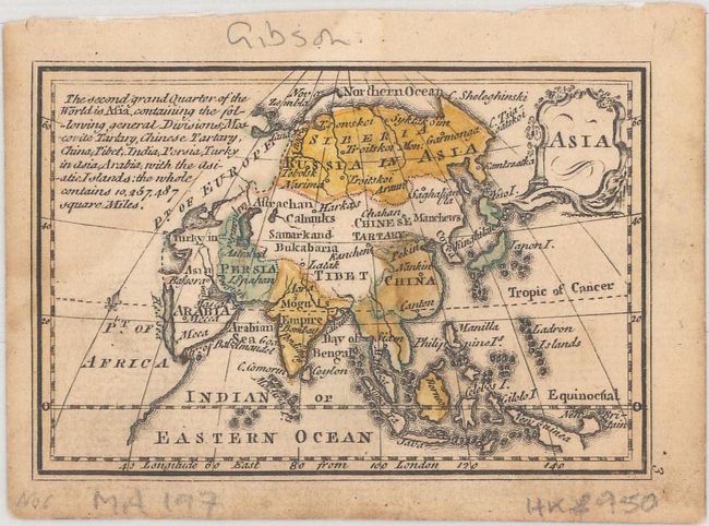
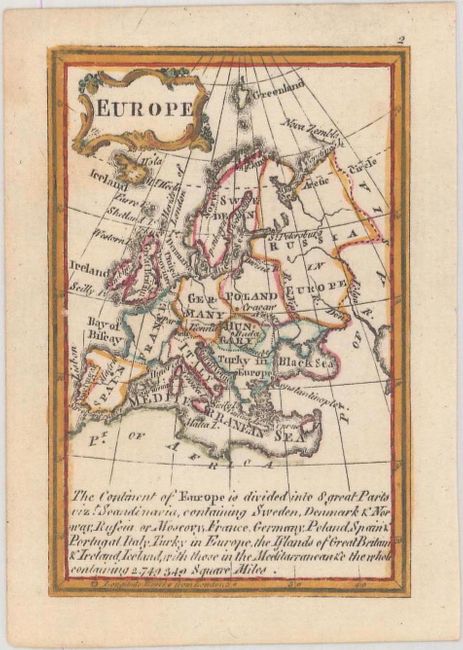
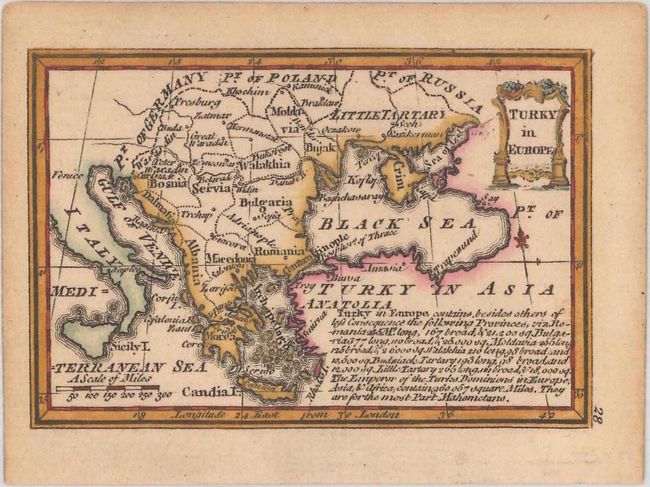
This set of miniature maps appeared in Atlas Minimus, a pocket atlas containing 52 maps, drawn and engraved by John Gibson, with revisions by Emmanuel Bowen, and published by John Newbery. The atlas was considered one of the most attractive miniature atlases of the 18th century. Included in this set are a double-hemisphere world map, maps of each of the five continents, and a map of Turkey. Each map focuses on political boundaries, major rivers, and key cities, and includes a note with descriptive information about the region.
The world map has incomplete coastlines along the northwest coast of North America, New Zealand, and much of Australia. On the map of North America, the region east of the Mississippi River is labeled British Empire, with French Dominion in the Central US and Mexico or New Spain to the west. The only cities named are Boston, New York, and Philadelphia.
A. The World (3.7 x 2.5").
B. North America (2.4 x 3.7").
C. South America (2.4 x 3.7").
D. Africa (3.7 x 2.5").
E. Asia (3.7 x 2.5").
F. Europe (2.4 x 3.7").
G. Turky in Europe (3.7 x 2.5").
B. North America (2.4 x 3.7").
C. South America (2.4 x 3.7").
D. Africa (3.7 x 2.5").
E. Asia (3.7 x 2.5").
F. Europe (2.4 x 3.7").
G. Turky in Europe (3.7 x 2.5").