Subject: Eastern United States & Canada
Period: 1796 (dated)
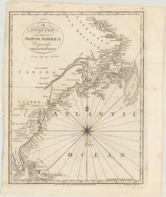
Publication: Malham's Naval Gazetteer
Color: Black & White
Size:
7.1 x 9.1 inches
18 x 23.1 cm
This handsome chart traces the coast of the young United States north to Canada. Although no borders are shown, a majority of the early states are named, including Vermont and Kentucke, the latest additions to the nation at the time of publication. Numerous towns and major cities, Indian tribes, harbors, sounds, banks, and more are located. The name Indiana appears despite the fact that the map pre-dates the creation of the Indiana Territory in 1800 (likely a reference to the Indiana Company). A note by Salvador or Guanahani (San Salvador) in the Bahamas reads, "First Land seen by Columbus 1492." There is a compass rose capped with fleur-de-lis in the Atlantic that radiates rhumb lines. This is the American edition, engraved by B. Callender and published by Spotswood and Nancrede in Boston.
References: Wheat & Brun #58; McCorkle (18th C. Geography Books) #253-5 (Vol. 1).
Condition: B+
Issued folding with faint scattered foxing.