Catalog Archive
Auction 165, Lot 362

"Les Petites Antilles ou les Isles du Vent, avec Celles de Sous le Vent", Bonne, Rigobert

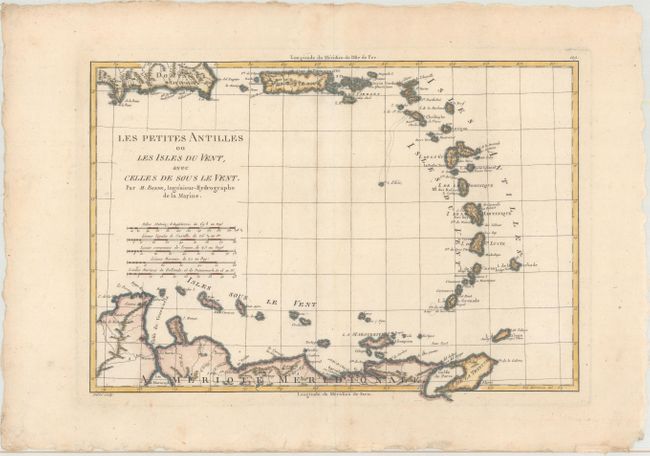
Subject: Lesser Antilles

Period: 1787 (circa)

Publication: Atlas Encyclopedique...

Color: Hand Color

Size:
13.6 x 9.6 inches
34.5 x 24.4 cm
Download High Resolution Image
(or just click on image to launch the Zoom viewer)

Nicely engraved map depicting most of the Lesser Antilles from Anguilla to Grenada, including the Windward and Leeward Islands. Scope extends to include Trinidad and the northern coastline of South America. Bellin published two maps showing the Lesser Antilles; this is the larger double-page map. Four distance scales. Finely engraved by Andre.

References: Sellers & Van Ee #1964.

Condition: A

A nice impression on a deckle-edged sheet with a hint of toning along the centerfold and light, marginal soiling.

Estimate: $180 - $210

Unsold

Closed on 11/15/2017

Archived