Subject: New Hampshire
Period: 1816 (dated)
Publication:
Color: Hand Color
Size:
46.7 x 59.7 inches
118.6 x 151.6 cm
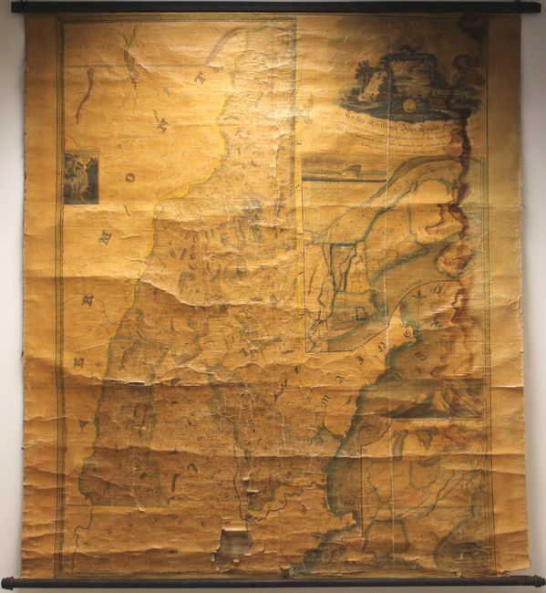
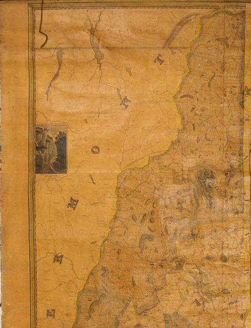
This magnificent, large-format, highly detailed map of the state was a milestone in the cartography of New Hampshire. According to David Cobb, author of New Hampshire Maps to 1900, this "is the most detailed and accurate map of the state produced in the early nineteenth century."
In fact, a major struggle for states following the Revolutionary War was keeping up to date maps. No significant updates had been made to New Hampshire mapping since Samuel Holland's 1784 survey. In order to be both cost effective and speed up the production cycle of a new map, the state legislature required town officials to submit township surveys directly to Philip Carrigan, then Secretary of State, who would then compile all the surveys for the new map. Local officials complied with this mandate to avoid a hefty financial penalty, but the results were understandably poor. Ristow points out that "many of the town surveys were made by unskilled persons and considerable ingenuity was required to reconcile the several town surveys into a coordinated map." As such, it took Carrigan several years and many revisions to arrive at the map that was finally published in 1816.
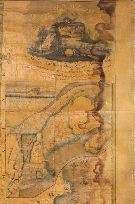
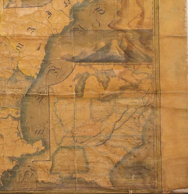
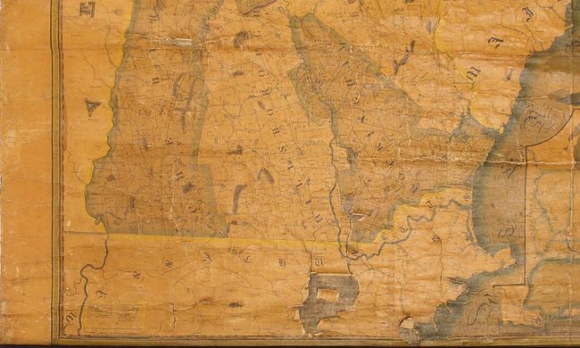
Drawn on a detailed scale of 3 miles per inch, the map present six counties and numerous townships based upon the latest surveys. Also depicted are roads, bridges, ferries, court houses, iron foundries, mills, and more. In the northern part of the state, two land grants are shown for Dartmouth College, and in the western part of the state is "The Ancient Masonian Curve Line." This line is in reference to John Mason's patent for the southern half of the land between the Merrimack and Kennebec rivers (Sir Ferdinando Gorges received the northern half). The map is augmented by two insets at right: "The States of the Union East of the Hudson" and "The Middle Southern and Western Sections of the United States." The composition is completed by two vignettes of the White Mountains, a "View of the Great Boars head and Hampton Beach" and an ornate title cartouche featuring hunting, fishing, agriculture and trade.
Issued on six sheets and joined. Original wooden rollers are present and attached.
References: Ristow pp. 96-97; Cobb (New Hampshire Maps to 1900) #91.
Condition: C+
There are two areas of loss at bottom measuring approximately 3.5" x 4" and 1.5" x 1". There are other small chips and numerous cracks that are less significant. There is a damp stain and a long crack adjacent to the right border that run the length of the map. The original wooden rollers are present and intact, with a small 3" section at bottom right separated from the roller. Given its rarity and importance, this map would significantly benefit from professional restoration.