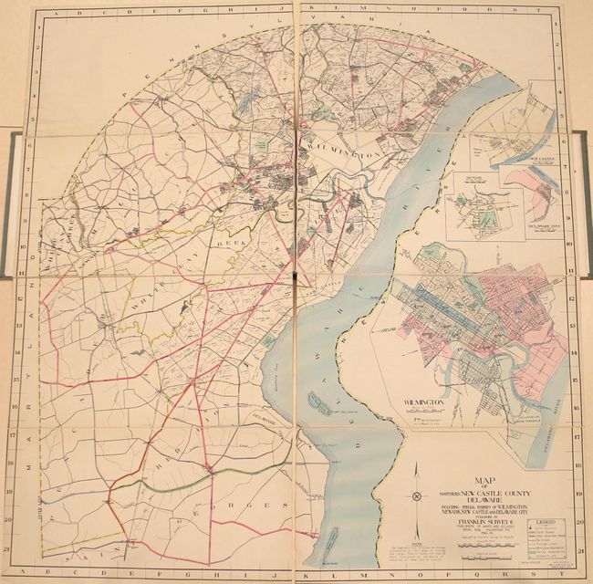
Subject: Northern Delaware
Period: 1930 (circa)
Publication:
Color: Hand Color
Size:
46.5 x 50 inches
118.1 x 127 cm
This very large map depicts northern Delaware from the Delaware River west to the border with Maryland and Pennsylvania. Centered on Wilmington, the map identifies state roads, other roads, railroads, trolleys, parks, and more with a color-coded key at bottom right. Individual property owners and businesses are also identified on much of the map, including several large tracks belonging to the du Pont family, making for a fascinating snapshot of the community at the time of publication. Insets of New Castle, Newark, Delaware City, and Wilmington provide additional details. Drawn on a very detailed scale of 1 inch per mile. Published by the Franklin Survey Co. in Philadelphia.
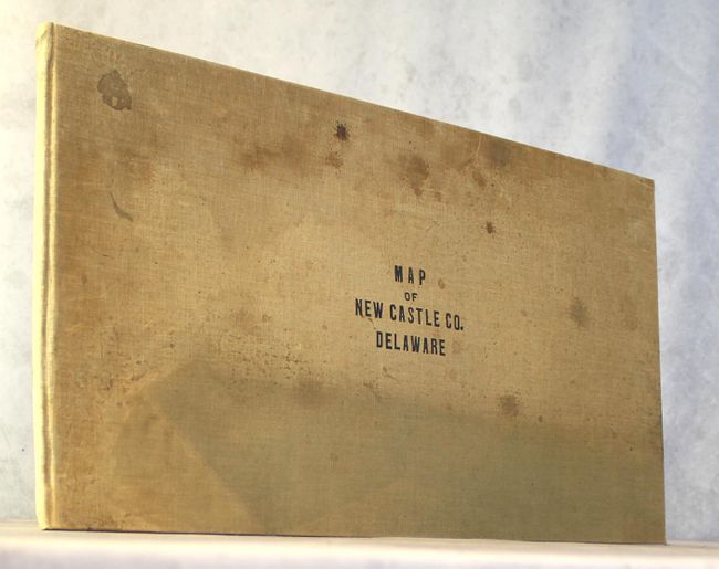
The map has been dissected, backed with linen, and bound into folio-sized oblong cloth boards.
References:
Condition: A
Condition code is for the map, which has been dissected, backed with linen, and bound into oblong folio boards. It is clean and bright with only a few faint spots and two minor extraneous creases at top. Index sheets have also been backed with linen and are loose. Covers are stained and sunned.