Catalog Archive
Auction 164, Lot 786

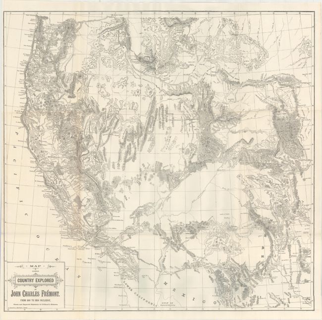
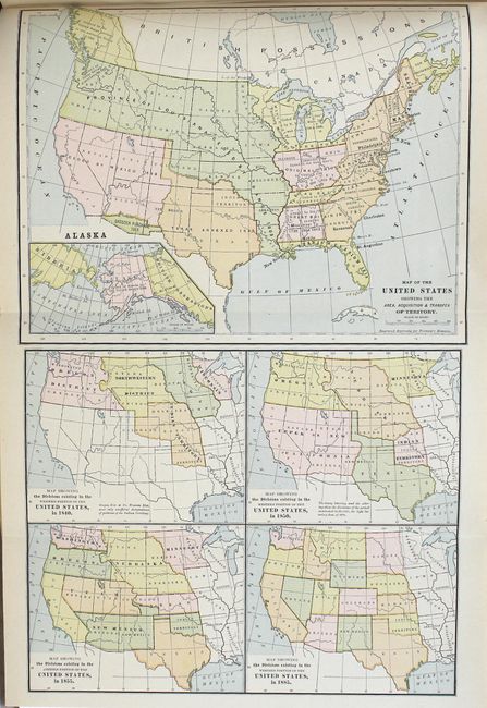
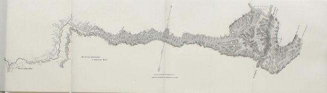
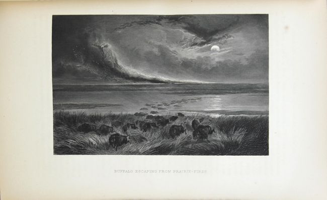
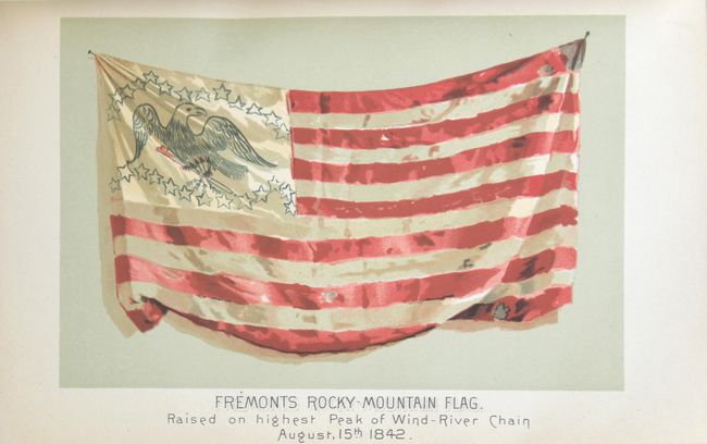
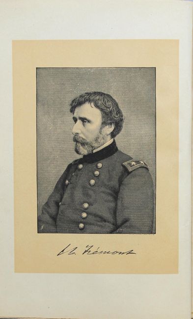
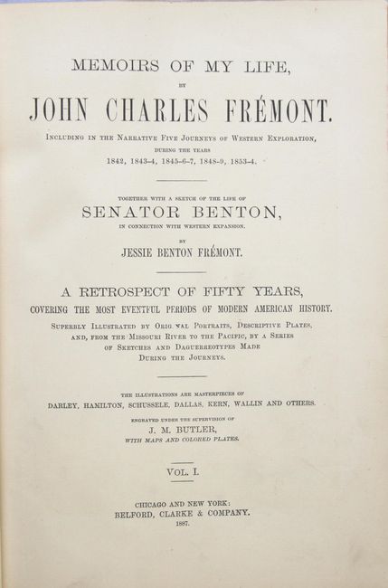
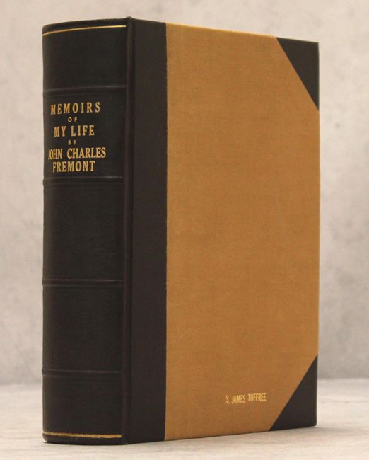
"Memoirs of My Life, by John Charles Fremont. Including in the Narrative Five Journeys of Western Exploration, During the Years 1842, 1843-4, 1845-6-7, 1848-9, 1853-4...", Fremont, John Charles

Subject: Exploration & Surveys

Period: 1887 (published)

Publication:

Color: Black & White

Size:
8.3 x 11.3 inches
21.1 x 28.7 cm
Download High Resolution Image
(or just click on image to launch the Zoom viewer)

John C. Fremont is an important historical figure best remembered for his three explorations of the west in the 1840s. Fremont married Jessie Benton, daughter of Sen. Thomas Hart Benton in 1841. The Senator championed the idea of Manifest Destiny, pushing for national surveys of the West and arranging for his son-in-law to lead them.

From 1842 to 1846 Fremont led three explorations of the west with Kit Carson as guide and Charles Preuss as the topographer. His early route became know as the Oregon Trail and his explorations are credited with encouraging the huge overland migration to the west. He was the first American to see Lake Tahoe, and finally determined that the Great Basin is endorheic, or closed basin with no outlet to the sea.

Fremont went on to become a millionaire, a California senator, a governor to Arizona Territory, the man who is credited with saving Kit Carson's life, and much more, yet died penniless and in virtual obscurity. Some scholars regard Fremont as a hero of significant accomplishment, while others view him as a failure who repeatedly defeated his own best ideals. He remains an enigmatic figure in the history of the United States. Read more of his fascinating story here.

John C. Fremont's autobiography was published in 1887, just three years before his death in 1890. His wife, Jessie Benton Fremont helped him write this book and wrote several works that give information about her husband's career. Although the volume is titled "Volume I," only one volume was published; the Library of Congress holds a manuscript for the second volume. Fremont and his colleagues covered some 10,000 miles between the frontiers of the Missouri and the shores of the Pacific. Fremont's report of 1845 was the most widely read account of the West before the gold rush, and its contents and maps had a profound effect on the development of emigration routes. The expedition party included such notable explorers as the German topographical surveyor Charles Preuss, the American guides L. Maxwell and Christopher Kit Carson and the celebrated botanist John Torrey.

Fremont describes the scope of the work in an introduction as follows: "The narrative contained in these volumes is personal. It is intended to draw together the more important and interesting parts in the journals of various expeditions made by me in the course of Western exploration, and to give my knowledge of political and military events in which I have myself had part. The principal subjects of which the book will consist, and which, with me, make its raison d'etre, are three: the geographical explorations, made in the interest of Western expansion; the presidential campaign of 1856, made in the interest of an undivided country; and the civil war, made in the same interest. Connecting these, and naturally growing out of them, will be given enough of the threads of ordinary life to justify the claim of the work to its title of memoirs: purporting to be the history of one life, but being in reality that of three, because in substance the course of my own life was chiefly determined by its contact with the other two - the events recorded having in this way been created, or directly inspired and influenced, by three different minds, each having the same objects for a principal aim."

The volume includes 7 maps (2 colored, 4 folding):

A. Map Showing Country Explored by John Charles Fremont 1841-1854 Inclusive (25 x 24.3"). This map distills all of the information from Fremont's expeditions in the West from 1841 to 1854, extending from about Kansas to California and Oregon, including the regions of Arizona, New Mexico, Utah, Colorado, Washington, Oregon, Idaho, a portion of the Dakotas, Nebraska, Kansas and Nevada. The topography is very detailed, particularly in Arizona, noting the San Francisco Peaks, and in the southern part of the state, Mt. Graham is named near Tussone and Tubac. Engraved by A. Zeese.
B. Map of United States showing the Area, Acquisition, and Transfer of Territory (9.6 x 15.2")
C. Rio de los Americanos, or American River (22.5 x 6")
D. Portion of Bear River of the Great Salt Lake (5.5 x 16")
E. Map Showing Acquisition of Territory ... 1776-1885 (9.5 x 6.6")
F. Beer Springs (8 x 5.5")
G. The Great Salt Lake (7.7 x 5.5")

Also included in the volume are a frontispiece portrait of Fremont and 81 plates, including beautiful steel engravings, wood engravings, and photogravures. Nicely rebound in modern half-bound simulated brown morocco over tan buckram, with gilt title and raised bands on spine, and marbled fore-edges. Although the large folding map is listed in the illustrations as appearing at page 120, it is housed in a pocket on the rear pastedown.

References: Howes #F367.

Condition: A

The large folding map is in very good condition with minor toning along the left-hand fold and a few short splits at fold intersections. The volume and plates are in near fine condition with just a hint of toning. The new bindings are excellent, with the previous owner's name in gilt at the bottom of the front cover.

Estimate: $600 - $750

Sold for: $300

Closed on 9/13/2017

Archived