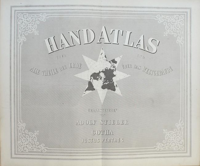
Subject: Atlases
Period: 1870 (published)
Publication:
Color: Hand Color
Size:
10 x 15 inches
25.4 x 38.1 cm
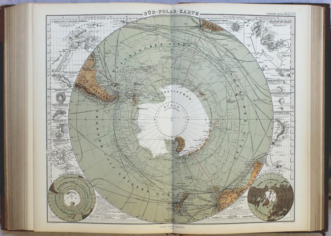
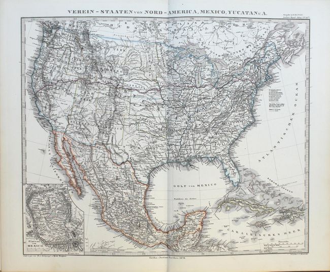
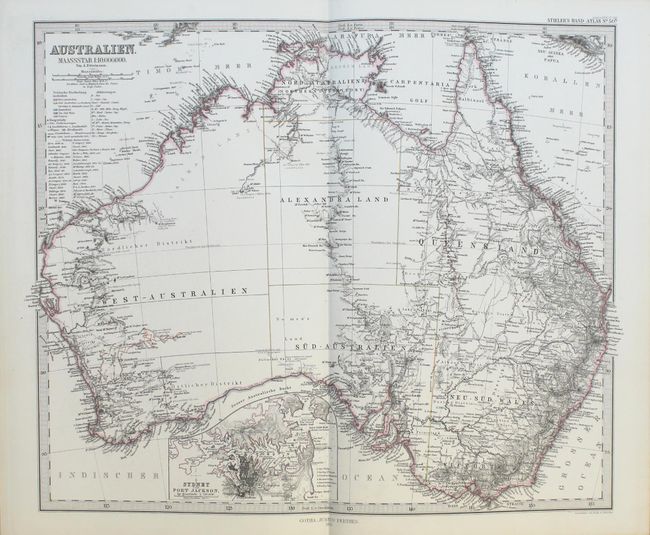
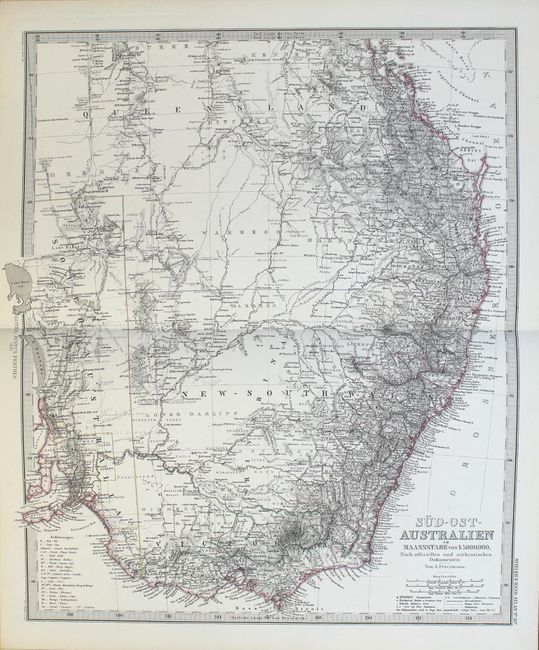
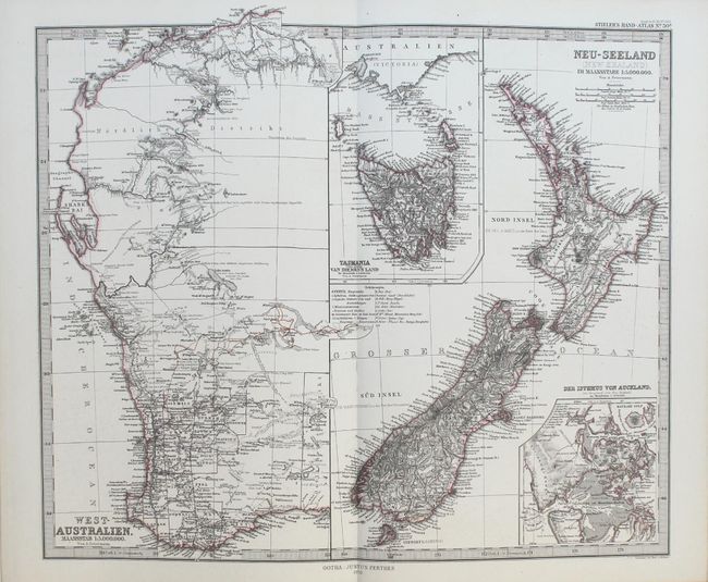
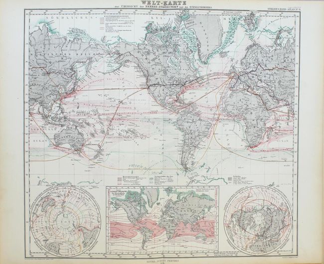
This handsome and complete atlas contains 84 steel engraved maps in a beautiful combination of hand coloring and printed color with precise engraved lines characteristic of Stieler's fine work. Each map is a study in precision engraving, with exceptional detail and is attached with a binder's stub to allow each map to be opened flat. Of the maps, four are celestial (including a fabulous engraving of the moon), two are thematic, and the rest cover the continents, polar regions, and countries of the world. Many of the maps include insets of principal cities and topographical features. The map of Antarctica gives terrific detail of the latest discoveries. The Atlantic Ocean map details the sub-sea telegraph cables. There are also three excellent maps of Australia. The atlas has four maps of United States interest. The map of the United States and Mexico shows the newly established state of Nebraska along with numerous territories, including Washington, Idaho, Montana, Dacota, Utah, Arizona, New Mexico and Indian Territory (Oklahoma). The map also depicts roads and a prominently featured northern transcontinental railroad from New York City to San Francisco. The maps are dated 1870.
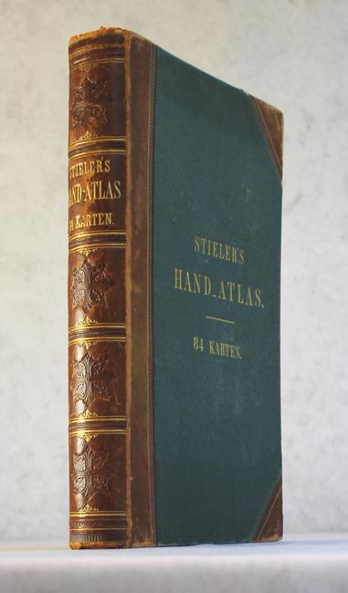
Folio. Original hard covers in blue cloth and quarter leather spine and tips with lovely embossing on spine and gilt titling on front cover and spine. Published by Justus Perthes.
References:
Condition: A
The maps are clean and bright with original hand color and minor toning along the fore-edges. The covers and spine show light wear and rubbing.