Subject: Mississippi River, Missouri, Illinois
Period: 1909 (published)
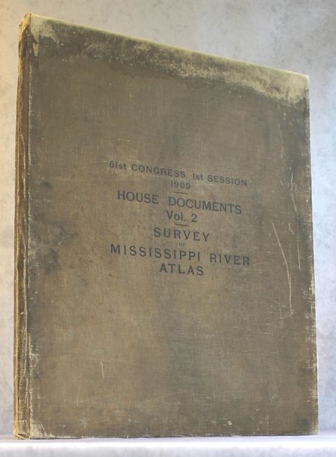
Publication: House Documents Vol. 2, 61st Cong., 1st Sess.
Color: Printed Color
Size:
22.8 x 36.8 inches
57.9 x 93.5 cm
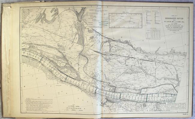
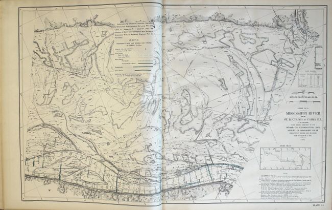
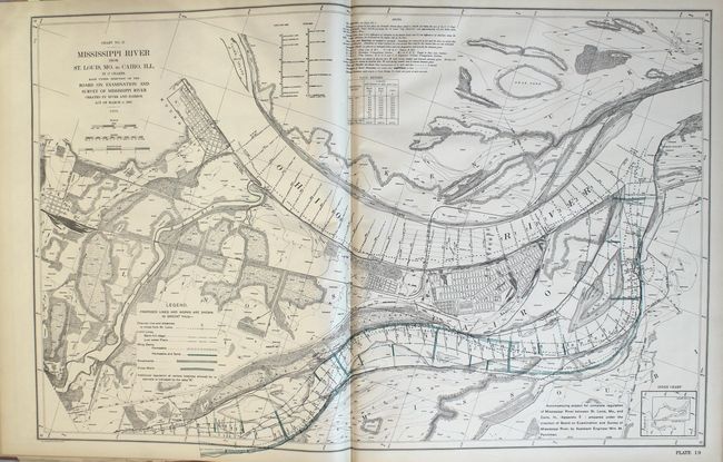
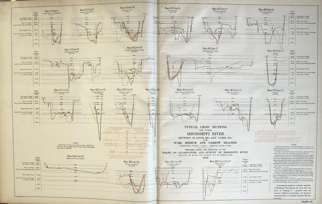
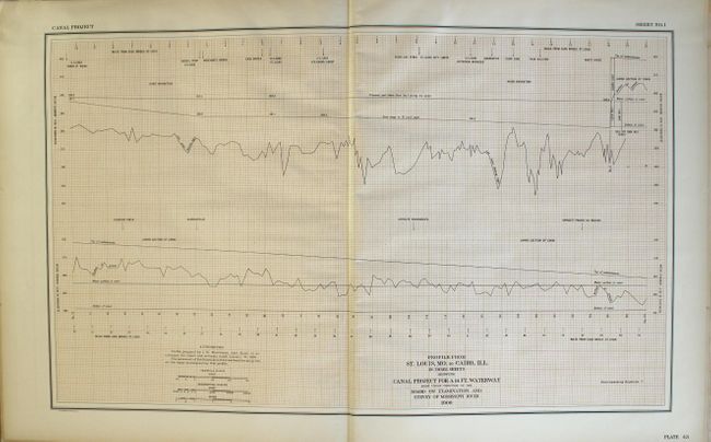
This impressive atlas contains 52 double-page plates related to an examination of the Mississippi River from St. Louis to Cairo, Illinois. It includes 2 sets of 17 plates (34 total) of the "Mississippi River from St. Louis, MO to Cairo, Ill. in 17 charts...1908". The first set shows the various proposed improvements to the river in green overprinting while the second set shows the canal system in red. These detailed charts follow the path of the river and are filled with related information including shore lines, soundings, permanent marks, borings, dikes, revertments, channel distances and more. The remaining plates include related charts and profiles. Elephant folio, hardbound in tan cloth. Dimensions refer to the size of the maps. Lithographed by Julius Bien in New York.
References:
Condition: B+
Condition code is for the maps and other plates which are in very good to near fine condition with some light toning along sheet edges. The title page, list of plates, and front free endpaper have numerous old tape repaired tears and both the title page and front free endpaper are loose. Cloth boards are heavily soiled and worn.