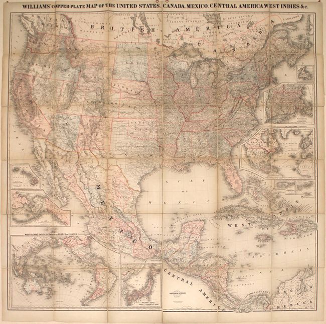
Subject: North America
Period: 1876 (dated)
Publication:
Color: Hand Color
Size:
63.1 x 61.9 inches
160.3 x 157.2 cm
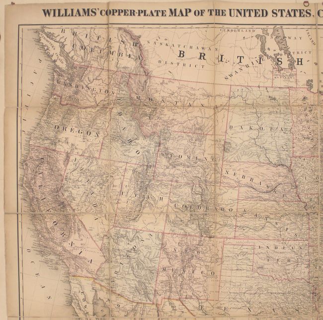
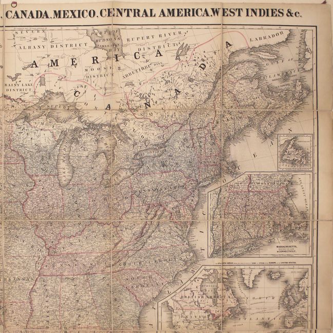
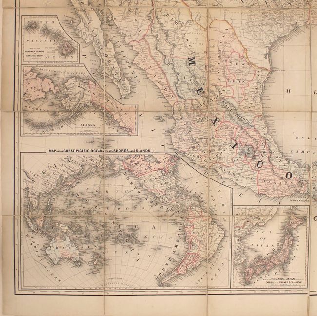
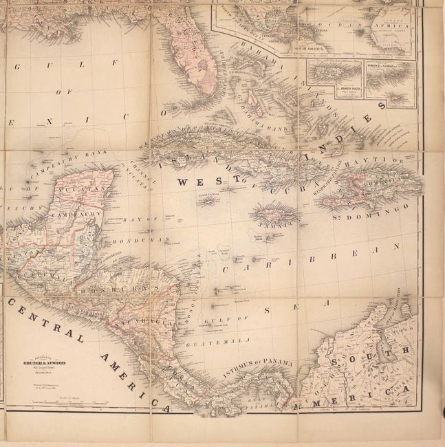
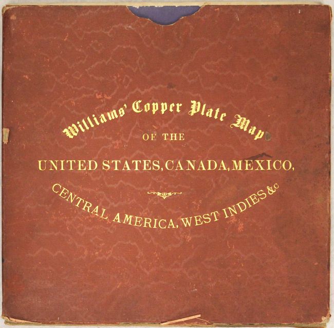
This huge wall map of North America was created by G. Washington Williams and published by John M. Atwood. This map was published the same year that Colorado achieved statehood, and shows Dakota Territory and Indian Territory. Yellowstone National Park is given its own boundary lines. The map is densely engraved with towns, counties, roads, railroads (both existing and proposed), and topography. A number of insets fill the blank areas of the ocean: Newfoundland, New England, the North Atlantic Ocean, Puerto Rico, the Virgin Islands, Hawaii, Alaska, the Pacific Ocean, and Japan. The map appears to be derived from Mitchell's New National Map, Exhibiting the United States with the North American British Provinces..., which was published in 1857 and 1860 and was engraved by Wellington Williams. It is likely that G. Washington Williams is the son of Wellington Williams. The publisher, John Atwood, was also an engraver, creating maps for Colton, Phelps, and others. Dissected into 36 sections and backed with linen. Includes 2 of the 4 original metal rings at top to hang the map. Folds into blue paper self-wrappers and fits into original red cloth slipcase with gilt titling on cover. A very rare issue, with only 2 sales records found in the last 35 years.
References: Phillips (Maps) p. 928.
Condition: B+
Light toning with minor soiling. Very good condition for such a large map. Slipcase is moderately worn and soiled, with the bottom of the slipcase separated along three of the four edges.