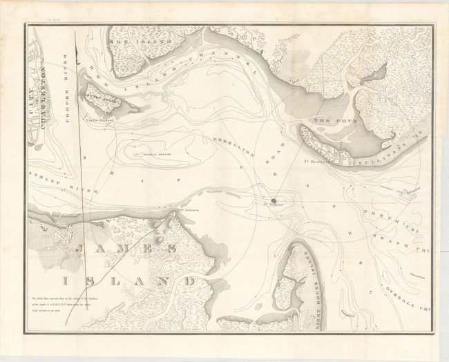
Subject: Charleston, South Carolina
Period: 1835 (published)
Publication: HR Doc. 67, 23rd Congress, 2nd Session
Color: Black & White
Size:
23.3 x 17.8 inches
59.2 x 45.2 cm
This untitled chart shows the approaches to Charleston. Using a scale of four inches to one mile, it served as the basis for subsequent maps of the Coast Survey. A note at lower left says "The dotted lines on the bottom of the Harbour at the depth of 6,12, 18, & 24 ft below mean low water." It shows drainage, vegetation, cultivated areas, swampland, and roads. Forts Sumter, Moultrie, and Johnson are prominently featured, and nine inch circles delineate the range of their guns. Fort Sumter, with smaller guns, uses six inch lines to show their range.
References: Claussen & Friis #40.
Condition: A
Issued folding with minor scattered foxing and faint offsetting.


