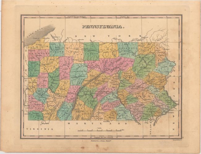
Subject: Pennsylvania
Period: 1829 (circa)
Publication: A New General Atlas...
Color: Hand Color
Size:
11.2 x 8.7 inches
28.4 x 22.1 cm
Finely's maps employ a delicate and elegant engraving style and provided extensive topographical and watershed information. He was the dominant map maker in the United States in the early 1820s into the 1830s. His atlases were very successful, outselling rival atlases by Carey & Lea, and Tanner. His maps were printed on high quality paper and were routinely corrected and updated.
Attractive map of the state that details the roads, towns and settlements of the day. County configuration is up-to-date with McKean in the northern part of the state being organized in 1826. Engraved by Young & Delleker. According to Ristow, Finley published his atlases annually between 1824-1834, with one final edition appearing in 1836 (Ristow states his last atlas was 1834).
References: Phillips (Atlases) #752-15; Ristow pp 268-70.
Condition: B+
Original color with light scattered foxing adjacent to the right border and in the blank margins.