Subject: Western United States
Period: 1811 (published)
Publication: Carey's General Atlas...
Color: Hand Color
Size:
5.9 x 7.6 inches
15 x 19.3 cm
Mathew Carey was a seminal figure in early American publishing; establishing the first publishing firm to specialize in cartography and issuing the first atlas devoted exclusively to American maps. He set up an elaborate cottage system of craftsmen for compiling, engraving, printing, and coloring maps. This practice was emulated by later American cartographic publishers such as John Melish and Henry S. Tanner. The American Atlas concept was also adopted by other publishers in both the United States and Europe.
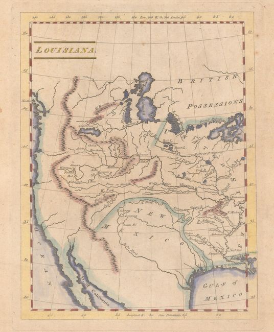
This uncommon map first appeared in Carey's American Pocket Atlas in 1805, just two years after the Louisiana Purchase. It shows the entire region west of the Mississippi River with the boundary line demarcating the southwest (labeled New Mexico) extending just to the north of the North Fork River. The map focuses on the river and mountain systems in the West, with only a few cities noted, including New Orleans, Santa Fe, and St. Louis. The locations of Indian tribes are marked with small triangles. A Grand Portage is shown between Lake Superior and Lake of the Woods, and a series of lakes and rivers continues the navigable route nearly to the Pacific Ocean. The Missouri River winds its way throughout the west, nearly reaching the Pacific Ocean in present-day Oregon. Many of the rivers and mountains are spurious, as the map was published while Lewis & Clark's expedition was still underway.
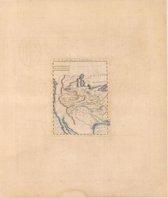
This map was subsequently published in Carey's American Atlas in 1809 and his General Atlas in 1811. The map was re-engraved for the 1814 edition of the General Atlas with a new title: Missouri Territory. Formerly Louisiana. This edition, published in the 1811 General Atlas, is unique for its extremely wide blank margins, which were required to fit it into the folio atlas. The 1811 edition of the General Atlas is known to be one of the scarcest editions.
References: Rumsey #4863.
Condition: B+
A nice impression with very light toning, a few spots of foxing, and a minor crease at bottom right. The map has exceptionally wide margins.