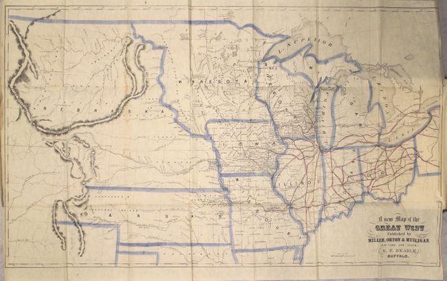
Subject: Central United States
Period: 1856 (published)
Publication:
Color: Hand Color
Size:
25.3 x 14.8 inches
64.3 x 37.6 cm
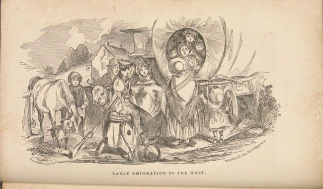
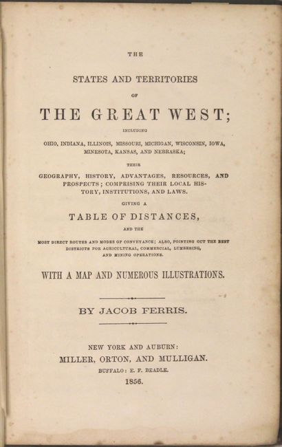
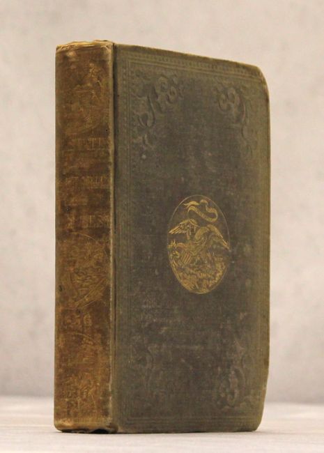
This uncommon map was published by Miller, Orton & Mulligan, New York & Auburn. It was drawn by E. F. Beadle of Buffalo. The map shows all of Ohio, Michigan, Wisconsin, Indiana, Illinois, Missouri, Iowa, and the enlarged territories of Minnesota and Kansas, each neatly outlined in blue watercolor. In today's Colorado, Denver does not appear, but Canon, Fort St. Vrain, Pueblo and Fort Lancaster are named. It shows the huge, nebulous Nebraska Territory (created in 1854), west of Minnesota and north of Kansas. Kansas extends to the Rocky Mountains and includes the regions allocated to the Arapahos & Cheyennes. Indian Territory is indicated for the Cherokees. Original red coloring shows railroad detail extending west to Iowa City. The map has fancy titling and includes details of watershed, villages and forts, and with rudimentary information on the Rocky Mountains. Bound in the complete volume The States and Territories of the Great West by Jacob Ferris." Octavo, hardbound in original green cloth with gilt pictorial stamping on cover and spine. 352 pages, 6 pages of advertisements, several b&w plates and folding frontispiece map.
References: Wheat (TMW) #885; Wagner-Camp #274A.
Condition: B+
Condition code is for the map, which is clean and bright with a 0.75" binding tear at right and some creasing along the right border. Text has light scattered foxing and minor staining in the blank margins. Covers are worn, edges are bumped, and the spine is sunned.