Subject: Eastern United States, Franklinia
Period: 1805 (published)
Publication:
Color: Black & White
Size:
13 x 16 inches
33 x 40.6 cm
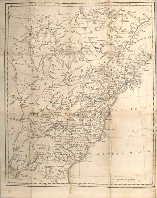
This fascinating map of the Eastern United States and Canada features the short-lived state of Franklinia in eastern Tennessee (here labeled Tennassee). In 1785, settlers in present-day western North Carolina and eastern Tennessee organized a state government to be named in honor of Benjamin Franklin. Congress turned down their appeal but the state maintained a legislature and governor until 1788. The map also depicts Morgania in present-day Missouri. It was named after George Morgan, a land speculator, who attempted to create a new colony in the then Spanish controlled Louisiana Territory near New Madrid (Morgan gave up this endeavor a few years later). Ohio is not yet named, but the Ohio Company land grant still appears north of the Ohio River. Florida is divided between East and West. West of the Appalachians, detail is mostly limited to forts and the locations of numerous Indian tribes.
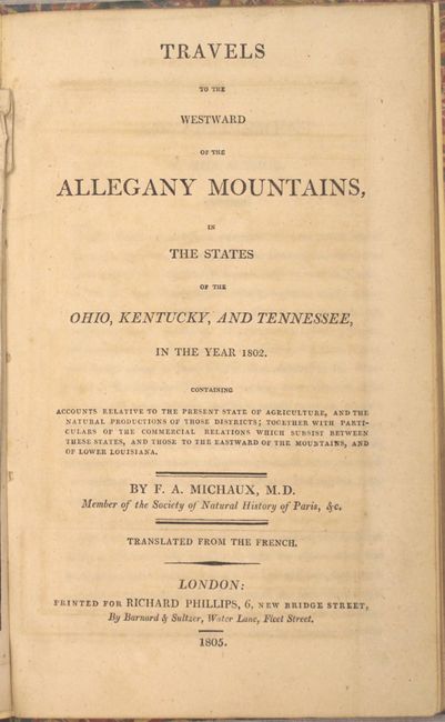
The map was issued in the English edition of Francois Andre Michaux's Travels to the Westward of the Allegany Mountains... and published by Richard Phillips in London. 96 pages. Octavo, rebound in stiff marbled boards.
References: Dotson & Baker (OWA) #14b; Sabin #48706.
Condition: B
The map has a 4.5" binding tear at right that has been repaired on verso with archival material along with light scattered foxing. The title page has a bit of toning, but the text is otherwise clean and bright. There is light external wear and minor surface soiling.