Subject: Asia
Period: 1759 (published)
Publication: A New Geographical Dictionary...
Color: Black & White
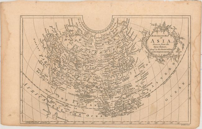
A. An Accurate Map of Asia, Drawn from the Sieur Robert, Geogr. to the French King, with Improvements (11.9 x 7.6"). Detailed map depicting all of Europe and Asia showing cities, rivers and topography. The Great Wall of China is shown as Chinese Wall just north of Beijing. The Sea of Japan is identified as the Sea of Korea. Condition: On watermarked paper with faint scattered foxing and one light stain at bottom. Additional light damp stains are confined to the left and right blank margins along with a small edge tear confined to the right blank margin. (B+)
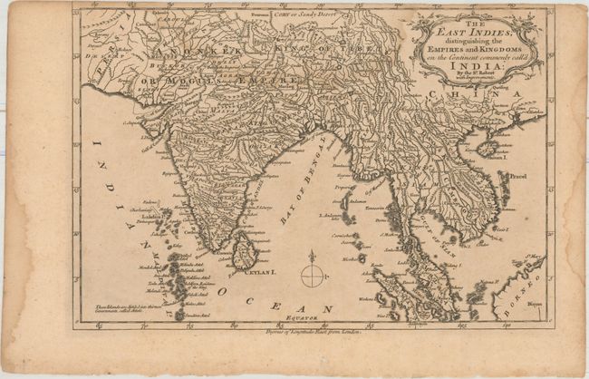
B. The East Indies; Distinguishing the Empires and Kingdoms on the Continent Commonly Call'd India... (11.6 x 7.9"). This map divides India and Southeast Asia into its different kingdoms and empires, and identifies major towns, rivers, mountains, and islands. It extends south to include the Maldives and parts of Sumatra and Borneo in the southeast. The map corresponds to the beginning of the East India Company's rule in India, and reflects increasing British interests in this area. Condition: On watermarked paper which has been trimmed to inside the neatline at top. A damp stain at top extends into the map image. (B)
References: McCorkle (18th C. Geography Books) #13-7 (Vol I) & #13-4 (Vol II).
Condition:
See description above.