Subject: Portobello, Panama
Period: 1777 (circa)
Publication: Atlante dell' America...
Color: Hand Color
Size:
10.1 x 7.7 inches
25.7 x 19.6 cm
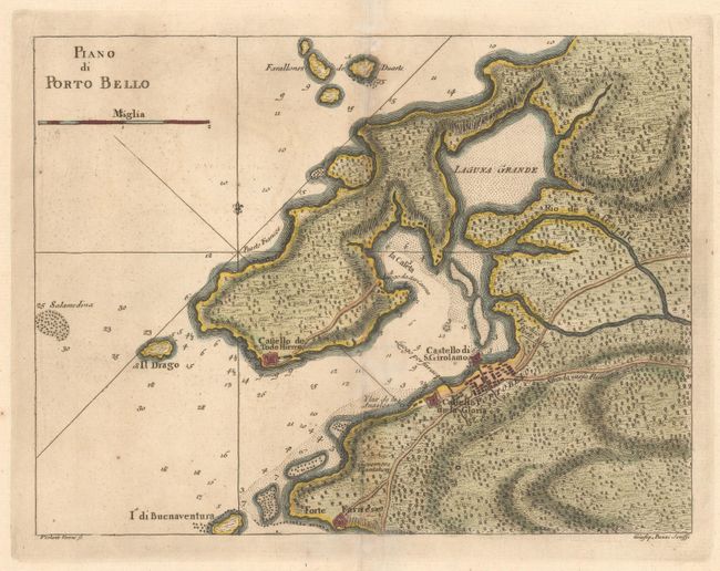
This is a handsome and beautifully engraved chart of historic Portobello Bay, which was a Spanish transfer point for gold and silver coming from South America. It locates Forte Farnese on the point, the Governors Plantation, and presents the town in a simple block pattern. Adjacent to the town is the fortified Castello de la Gloria, and across the bay is the Castello de Todo Hierro and a few other buildings. The roads are well detailed including the Strada verso Panama, which extends off the map on its way to Panama City. In the ocean are a few rhumb lines and a fleur-de-lis. Drawn by Viol. Vanni and engraved by Giusep. Pazzi. This is a scarce Italian-produced map that appeared in Marco Corotellini's Gazzettier Americano in 1763 and G. T. Masi Co.'s Atlante dell' America... in 1777, which is distinguished by its wide margins, as in this example.
References: Kapp (MCC-73) #79-3.
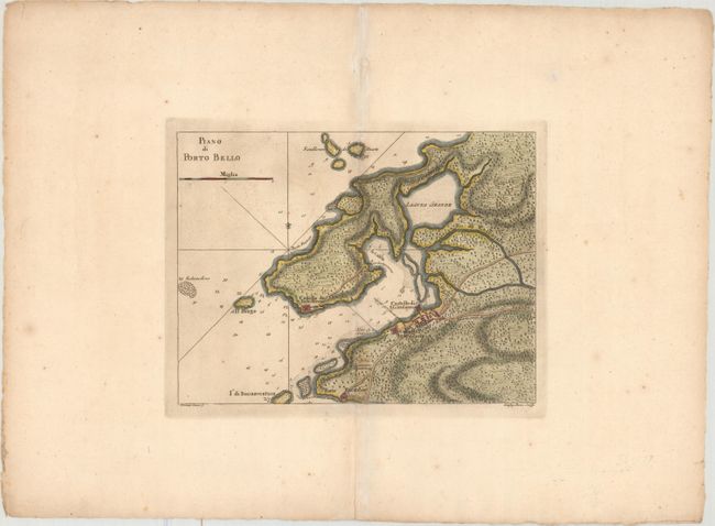
Condition: A
A crisp impression with light printer's ink residue, a hint of offsetting, and very wide margins. There is an archivally repaired hole along the centerfold in the top blank margin, as well as light foxing confined to the blank margins.