Subject: Oklahoma
Period: 1902 (published)
Publication:
Color: Printed Color
Size:
18.6 x 21.8 inches
47.2 x 55.4 cm
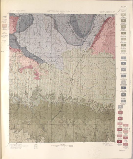
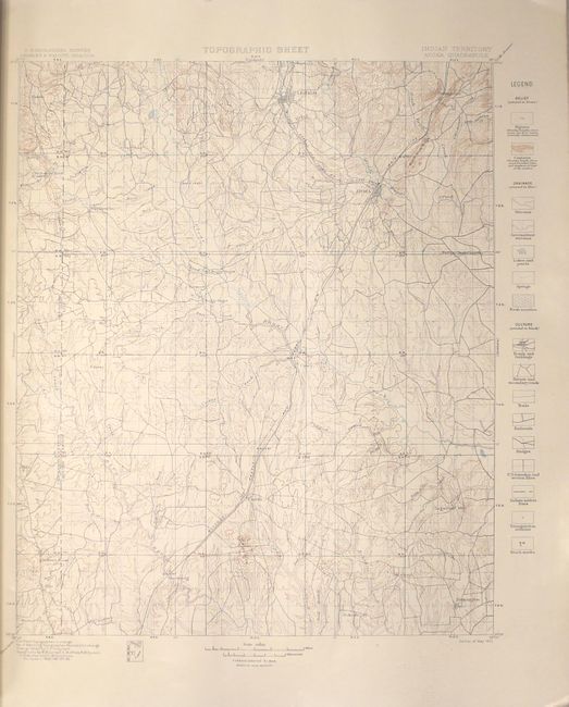
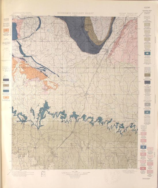
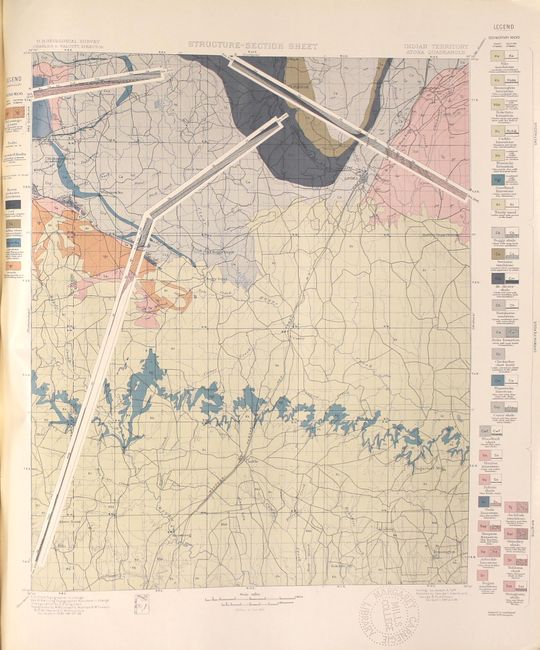
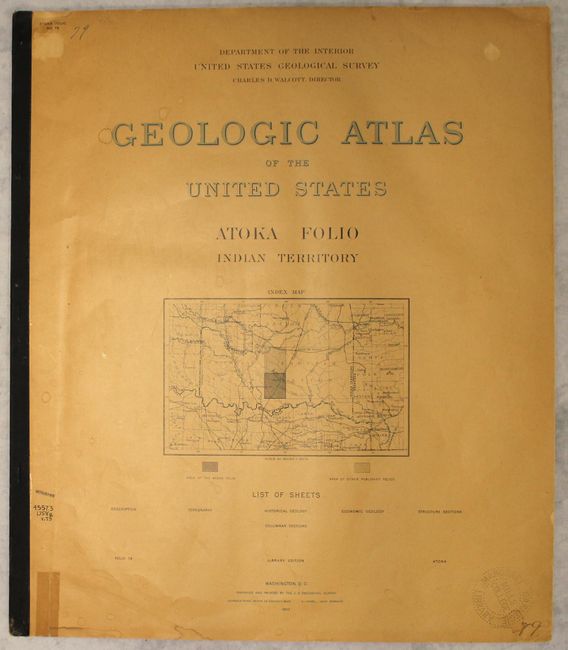
This folio covers the area around Atoka in Indian Territory. Located on Choctaw land, the area is perhaps most notable for a small Civil War skirmish, the Battle of Middle Boggy Depot, that occurred on the outskirts of Atoka in 1864. In addition to an 8-page description of the area by Joseph A. Taff, there are four maps depicting topographical, historical-geological, economical-geological, and structural detail of the region. The maps are followed by two tables of geological detail. Produced under the direction of Charles Walcott. Elephant folio.
References:
Condition: B+
Ex-library with a perforated library stamp on the front cover and on the maps and tables. Maps are in near fine condition except for the library stamp that just enters the Economic Geology Sheet map at bottom. Text is toned with a minor stain on the first page. Covers are toned as well with light stains, small chips, and some tears that have been closed with cello tape.