Catalog Archive
Auction 162, Lot 168

"Massachusetts, Rhode Island, and Connecticut", Burr/Illman

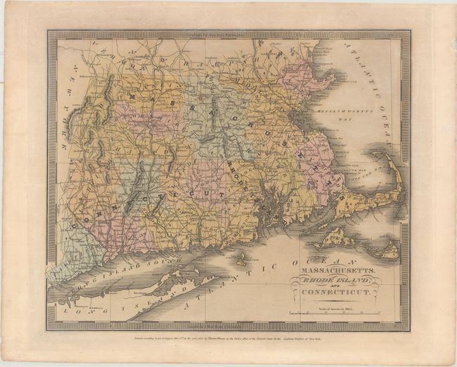
Subject: New England - United States

Period: 1835 (dated)

Publication: A New Universal Atlas

Color: Hand Color

Size:
12.6 x 10.4 inches
32 x 26.4 cm
Download High Resolution Image
(or just click on image to launch the Zoom viewer)

This map by David H. Burr shows county organization and settlement at the time. The map details roads, towns, villages and settlements, ports, watershed and more. Includes Martha's Vineyard and part of Long Island. This edition is without a page number. Burr was appointed to be topographer to the U.S. Post Office Department in 1832 and was unable to complete the maps for this atlas. Thomas Illman assumed responsibility to complete the atlas, publishing it in 1835 using the New York firm of D. S. Stone.

References:

Condition: B+

Original wash color with light toning and a faint damp stain at top.

Estimate: $200 - $230

Unsold

Closed on 4/26/2017

Archived