Subject: Atlases, Michigan
Period: 1908 (published)
Publication:
Color: Printed Color
Size:
11.9 x 14.9 inches
30.2 x 37.8 cm
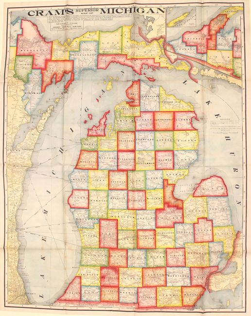
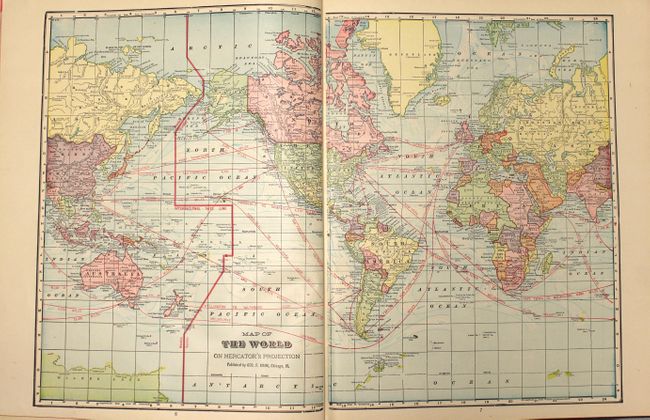
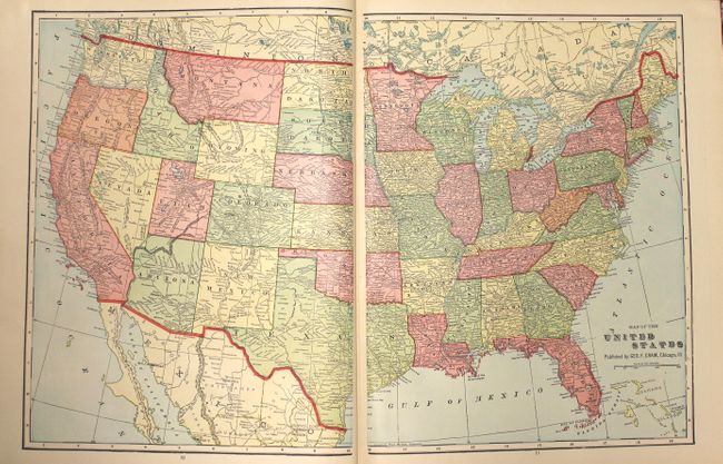
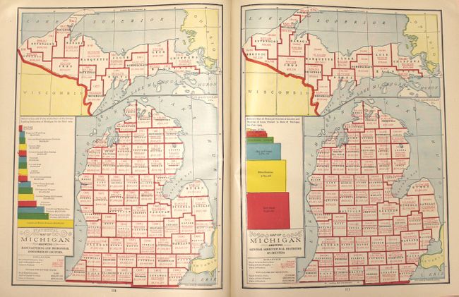
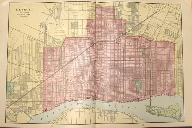
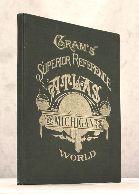
This is the expanded version of Cram's Superior Reference Atlas of Michigan first issued in 1904. It is one of a series of atlases published early in the 20th century by the Cram company that highlights an individual state, and contains 39 double-page and 32 single-page maps of U.S. states, territories and the rest of the world. At the back of the volume are 9 maps and 30 pages of text and illustrations directly related to Michigan. Of particular interest is the huge (38 x 48") boldly colored folding map of the state that is attached to the rear of the volume, showing county boundaries, railroads, roads, city populations, and distances between railroad stations. Includes double-page city maps of Detroit and Chicago, and single-page maps of Grand Rapids, Bay City, Saginaw and Toledo, Ohio. The atlas is also extensively illustrated with black & white photographs showing scenes of faraway places like Greenland, the Philippines and Europe. Further illustrations include three pages of presidential portraits, the Flags of the Various Nations and the Arms of Various Nations. 160 pages, hardbound in original green cloth with decorative silver titling on front.
References:
Condition: A
Overall excellent condition. Maps and text are clean and bright, and the binding is tight. The large folding map at the back has only a bit of color offsetting - no fold separations as one might expect for a map of this size. Extremities show only minor wear.