Subject: Atlases
Period: 1846 (published)
Publication:
Color: Hand Color
Size:
12 x 9.3 inches
30.5 x 23.6 cm
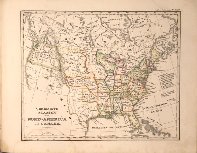
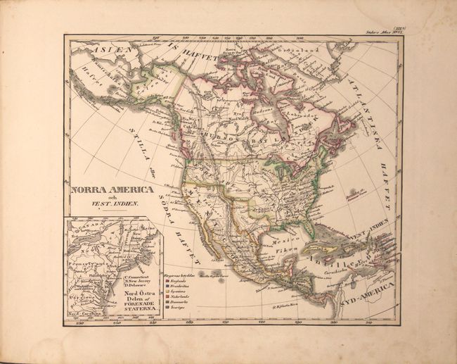
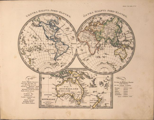
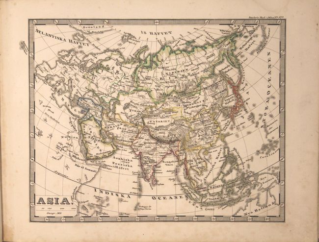
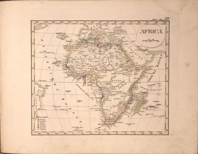
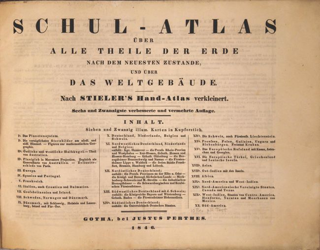
This complete atlas contains a total of 28 single-page maps consisting of celestial (2), world (2), Europe (17), Asia (4), Africa (1), and the Americas (4). The maps of North America and the United States prominently feature the Independent Republic of Texas. On the map of the United States, the northwest is labeled Oregon District and the boundary with Canada is correctly shown along the 49th parallel. The Midwest above Texas is divided into three huge districts, namely Mandan, Osage and Ozark. A large Iowa Territory includes parts of present-day Minnesota, South Dakota, and North Dakota. The double hemisphere map of the world includes an unusual large inset of Australia. Published by Justus Perthes in Gotha.
References:
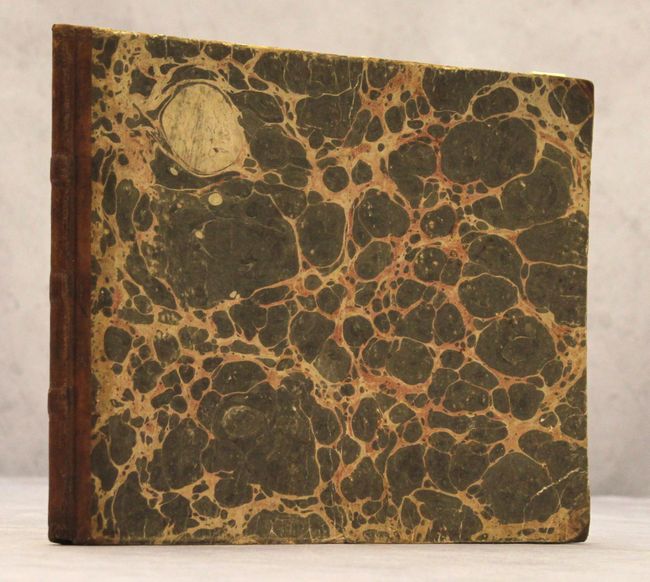
Condition: B+
The maps are in original color with faint scattered foxing and minor soiling mostly in the blank margins . There is a small faint damp stain in the top blank margin of about two-thirds of the maps. Covers are moderately worn with bumped edges.