Catalog Archive
Auction 161, Lot 589
"A New & Accurate Map of the Whole Russian Empire, as Contain'd Both in Europe and Asia. Drawn from Authentic Journals, Surveys, and Most Approved Modern Maps, and Regulated by Astronomical Observations", Bowen, Emanuel
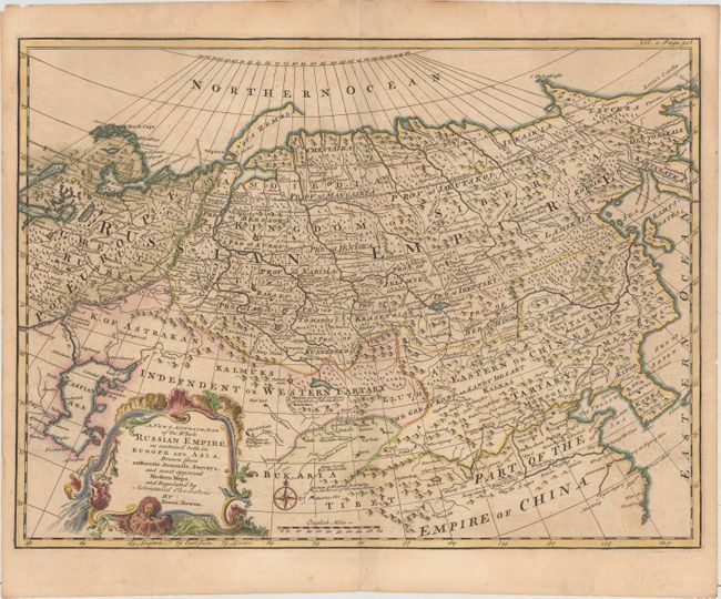
Subject: Russia in Europe
Period: 1748 (circa)
Publication: John Harris' Navigantium Atque Itinerantium Bibliotheca...
Color: Hand Color
Size:
18.3 x 13.7 inches
46.5 x 34.8 cm
Download High Resolution Image
(or just click on image to launch the Zoom viewer)
(or just click on image to launch the Zoom viewer)