Catalog Archive
Auction 161, Lot 534

"Gubernatio Generalis Languedociae Occitania olim Dictae in 3. Generales Divisae Locumtenentias Quarum I. Superiorem...", Homann Heirs

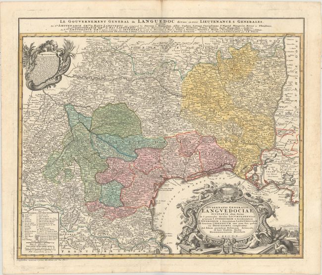
Subject: Southern France

Period: 1742 (dated)

Publication:

Color: Hand Color

Size:
22.8 x 19.2 inches
57.9 x 48.8 cm
Download High Resolution Image
(or just click on image to launch the Zoom viewer)

This is a decorative and densely engraved map of the Languedoc region of France, extending east to the Rhone River, west to about Agen, and north to the Dordogne River. Political boundaries, rivers, towns, universities, and more are identified. The map is adorned with two decorative cartouches featuring symbols representative of the region. An alternate French title appears above the map: "Le Gouvernement General de Languedoc Divise en Trois Lieutenances Generales..."

References:

Condition: A

A nice impression with full original color on watermarked paper with minor marginal soiling.

Estimate: $180 - $210

Unsold

Closed on 2/8/2017

Archived