Catalog Archive
Auction 161, Lot 462

"Partie de Terre Ferme ou sont Guiane et Caribane. Augmentee et Corrigee Suivant les Dernieres Relations", Sanson, Nicolas Fils

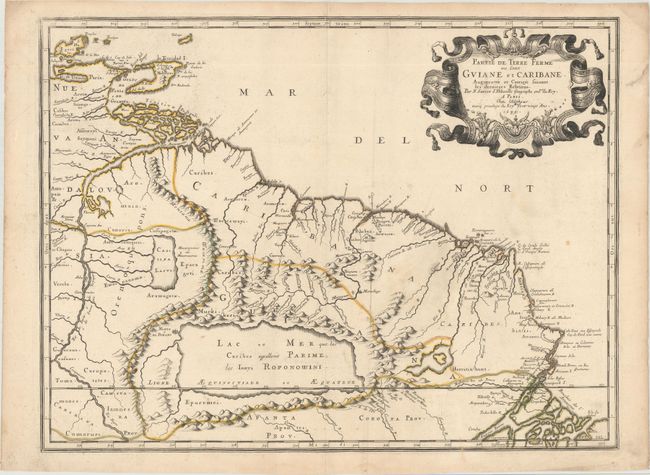
Subject: Guyana, Suriname, French Guiana

Period: 1679 (dated)

Publication:

Color: Hand Color

Size:
21.4 x 16.1 inches
54.4 x 40.9 cm
Download High Resolution Image
(or just click on image to launch the Zoom viewer)

This map of present-day Guyana, Suriname, French Guiana, and part of Brazil depicts several conjectural lakes and rivers. The mythical Lac Parime is prominently shown in a rectangular shape, with the fabled Manoa o el Dorado (City of Gold) on its western shore. The Orinoco River flows in a southern, rather than western, direction and connects to another conjectural lake, Cassipa Lacus. The map extends to include Trinidad, Tobago, and Isla de Margarita in the north and the mouth of the Amazon River in the south. A large, decorative cartouche fills the otherwise blank ocean.

This is a unique example that exhibits erasures in the cartouche where Pierre Mariette's name was erased by Sanson's sons. During their partnership, Sanson and Mariette split the folio plates for Cartes Generales de Toutes les Parties du Monde so that each had half of the plates in their possession, with Mariette adding his name to the plates in his possession. Over time, Sanson began leaving his plates with Mariette for storage, and Mariette included his name on these additional plates. After Sanson's death, his sons took Mariette to court to recover the plates. Many of the plates were returned to the Sansons, who changed the imprints from "chez Mariette" back to "chez l'auteur." (Read our article on the complicated relationship between Sanson and Mariette here.)

References:

Condition: B+

Original outline color on watermarked paper with light soiling and an archivally repaired tear confined to right blank margin.

Estimate: $275 - $350

Sold for: $200

Closed on 2/8/2017

Archived