Catalog Archive
Auction 161, Lot 215

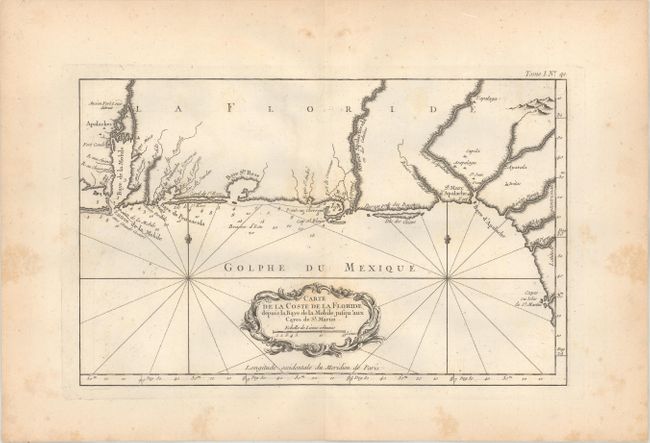
"Carte de la Coste de la Floride Depuis la Baye de la Mobile Jusqu'aux Cayes de St. Martin", Bellin, Jacques Nicolas
Subject: Colonial Southern United States

Period: 1764 (circa)

Publication: Le Petit Atlas Maritime

Color: Black & White

Size:
13.6 x 8.5 inches
34.5 x 21.6 cm
Download High Resolution Image
(or just click on image to launch the Zoom viewer)

This attractive double page copper engraved chart covers the Gulf coast from Mobile, Alabama to the Cayes ou Isles de St. Martin on the Florida coast. It shows little detail other than coastal place names, soundings along the coast and river entrances, a few forts and some Indian villages. It is nicely decorated with a rococo title cartouche, rhumb lines and two fleurs-de-lis.

References: Phillips (Atlases) #3508.

Condition: B+

On paper with a large cross watermark and wide margins. There is light scattered foxing mostly confined to the blank margins with just a little within the map image.

Estimate: $325 - $400

Sold for: $170

Closed on 2/8/2017

Archived