Subject: References, Civil War
Period: 1999-2000 (published)
Publication:
Color: Printed Color
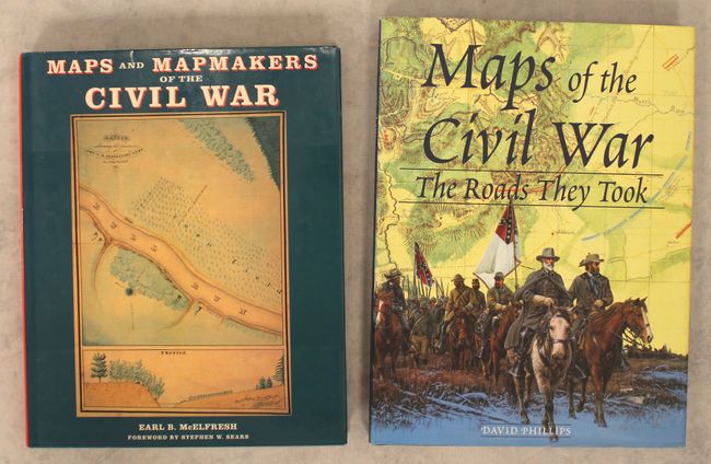
A. Maps and Mapmakers of the Civil War, by Earl B. McElfresh, published 1999 (9.8 x 12.1"). This is a thorough examination of Civil War maps, mapmaking, and mapmakers and documents the techniques and travails of the mapmaker in the field. Lively anecdotes are retold alongside discussion of the practical effect of the cartographer's art on actual military operations. 272 pp., notes, bibliography, index, 180 illustrations, 150 in full-color, many never before reproduced. Hardbound with illustrated dust jacket.
B. Maps of the Civil War - The Roads They Took, by David Phillips, published 2000 (9.8 x 13.1"). This Civil War atlas is organized by year and by battle. It includes more than 150 paintings, photographs, and original and contemporary maps, many in full-color. Hardbound in dark blue cloth with silver titles on the spine and an illustrated dust jacket. 160 pp.
References:
Condition: A
Like new with minor wear to the dust jackets.