Subject: Atlases
Period: 1850 (published)
Publication:
Color: Hand Color
Size:
10.3 x 13.8 inches
26.2 x 35.1 cm
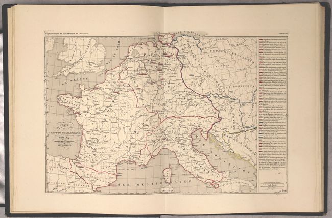
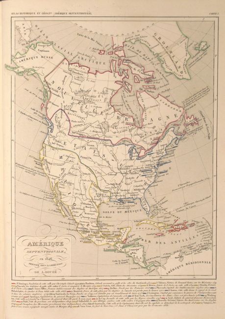
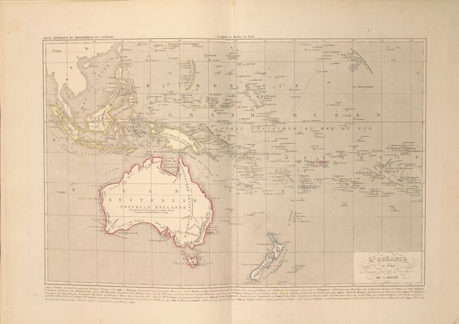
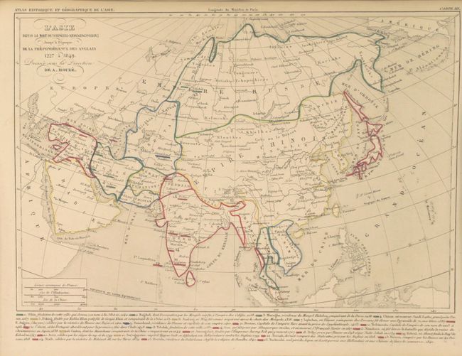
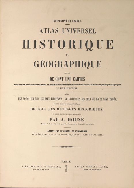
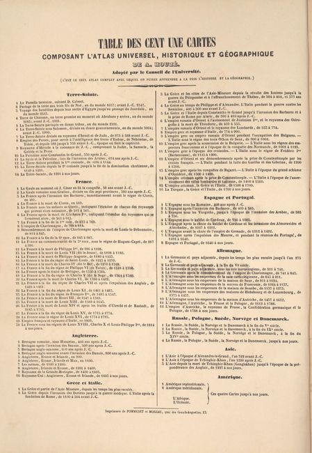
This French atlas, complete with 101 maps, claims to be "the only atlas with which one can learn both history and geography simultaneously." This unique atlas focuses on 8 regions, with multiple maps of each region to illustrate the historical, political, and geographical changes that occurred over time. Each map includes a color-coded legend that gives extensive historical information. The key regions are: Holy Land (14 maps), France (30 maps), Britain (10 maps), Greece and Italy (16 maps), Spain and Portugal (8 maps), Germany (12 maps), Russia, Poland and Scandinavia (4 maps), and Asia (3 maps). Also included are one map each of North America, South America, Africa and the South Pacific. Most maps are single page, although 3 are double-page, including two of France and the South Pacific. The map of North America is dated 1846 and shows the Republic of Texas. Mexico is in control of the entire Southwest, and the US border extends well into Canada in the west. Hardbound in dark brown cloth with gilt tooling and title on spine.
References:
Condition: A
Original outline color with occasional minor soiling and just a hint of toning. The frontispiece is moderately toned. The binding is good. The front hinge is starting but still sturdy and the covers show light wear and are bumped at the corners.