Catalog Archive
Auction 160, Lot 437

"Carte de l'Isle de Caienne, et de ses Environs", Bellin/Van Schley

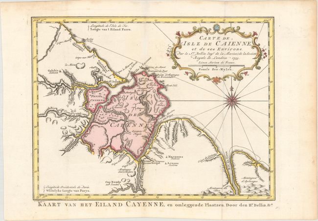
Subject: French Guiana

Period: 1753 (dated)

Publication: Raynal's Histoire Philosophique et Politique…

Color: Hand Color

Size:
11.3 x 8.6 inches
28.7 x 21.8 cm
Download High Resolution Image
(or just click on image to launch the Zoom viewer)

Attractive chart of the coast of French Guyana locating the important fortifications and natural harbor of Cayenne. It is decorated with a fine title cartouches and a compass rose. Dutch title at bottom: Kaart van het Eiland Cayenne, en Omleggende Plaatzen.

References:

Condition: A

Issued folding, now flattened on watermarked paper with hint of toning along the folds, light toning along the edges of the sheet, and a few faint spots of foxing in the bottom blank margin.

Estimate: $100 - $130

Unsold

Closed on 11/16/2016

Archived